Jane Lew in Lewis County, West Virginia — The American South (Appalachia)
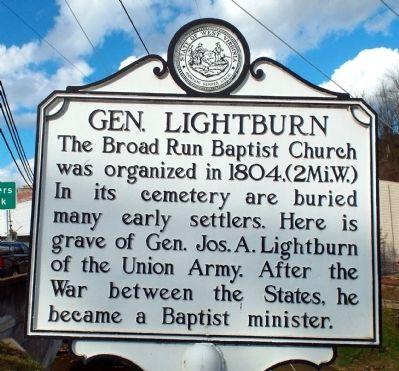
Gen. Lightburn
Topics and series. This historical marker is listed in these topic lists: Cemeteries & Burial Sites • Churches & Religion • Settlements & Settlers • War, US Civil. In addition, it is included in the West Virginia Archives and History series list. A significant historical year for this entry is 1804.
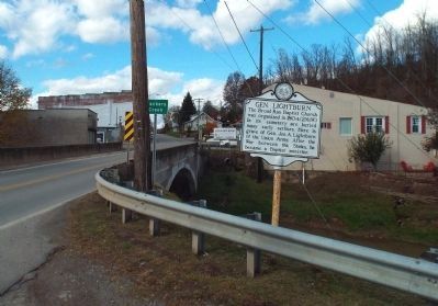
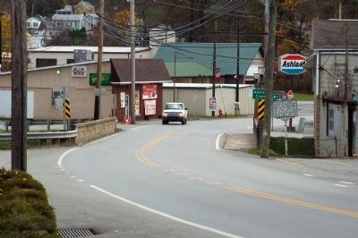
Location. 39° 6.56′ N, 80° 24.393′ W. Marker is in Jane Lew, West Virginia, in Lewis County. Marker is at the intersection of Main Street (U.S. 19) and High Street (County Route 8), on the right when traveling north on Main Street. Touch for map. Marker is at or near this postal address: 6113 Main Street, Jane Lew WV 26378, United States of America. Touch for directions.
Other nearby markers. At least 8 other markers are within 4 miles of this marker, measured as the crow flies. Dedicated To All Veterans (about 300 feet away, measured in a direct line); First M.P. Church (about 400 feet away); Harrison County / Lewis County (approx. 1.7 miles away); Jackson's Mill (approx. 3.3 miles away); Sawmill (approx. 3.3 miles away); Blacksmith Shop (approx. 3.3 miles away); Blaker's Mill (approx. 3.3 miles away); Cummins Jackson House (approx. 3.4 miles away). Touch for a list and map of all markers in Jane Lew.
Credits. This page was last revised on August 22, 2023. It was originally submitted on October 30, 2014, by Forest McDermott of Masontown, Pennsylvania. This page has been viewed 544 times since then and 18 times this year. Photos: 1, 2, 3. submitted on October 30, 2014, by Forest McDermott of Masontown, Pennsylvania. • Bernard Fisher was the editor who published this page.


