Near Lueders in Jones County, Texas — The American South (West South Central)
8.6 Miles South to Fort Phantom Hill
Inscription.
Established November 14, 1851 by the United States Army as a protection of the settlers against the Indians. Abandoned and burned April 6, 1854. Repaired and used by Southern Overland Mail, 1858-1861, sub-post of Fort Griffin, 1871-1872, temporary county seat of Jones County in 1881.
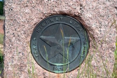
Erected 1936 by Texas Highway Department. (Marker Number 2005.)
Topics and series. This historical marker is listed in these topic lists: Communications • Forts and Castles • Settlements & Settlers • Wars, US Indian. In addition, it is included in the Texas 1936 Centennial Markers and Monuments series list. A significant historical date for this entry is April 6, 1854.
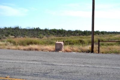
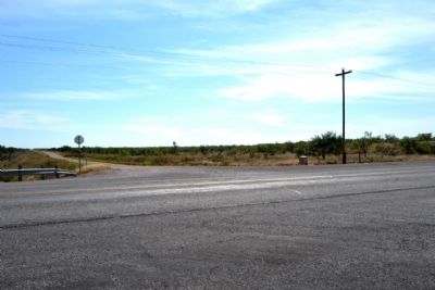
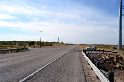
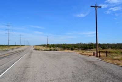
Location. Marker is missing. It was located near 32° 45.012′ N, 99° 39.185′ W. Marker was near Lueders, Texas, in Jones County. Marker was at the intersection of U.S. 180 and County Road 329, on the right when traveling east on U.S. 180. Marker was located at the southwest corner of the intersection of US 180, CR 329, and CR 219. Touch for map. Marker was in this post office area: Lueders TX 79533, United States of America. Touch for directions.
Other nearby markers. At least 8 other markers are within 8 miles of this location, measured as the crow flies. Lueders Cemetery (approx. 2.6 miles away); Big Country Baptist Assembly (approx. 4.3 miles away); Swan's Chapel (approx. 7.2 miles away); Fort Phantom Hill (approx. 7.6 miles away); a different marker also named Fort Phantom Hill (approx. 7.6 miles away); Bud Matthews Switch of the Texas Central Railway (approx. 8 miles away); Butterfield Overland Mail (approx. 8 miles away); The Cable Tool Oil Field (approx. 8 miles away). Touch for a list and map of all markers in Lueders.
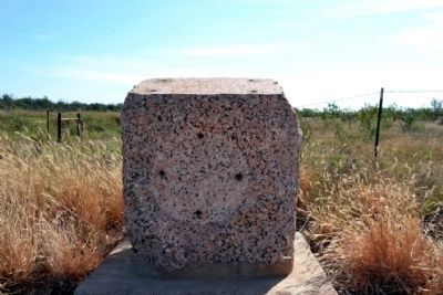
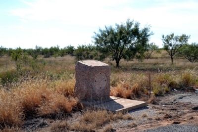
More about this marker. The marker is missing its top inscription tablet and front medallion plate but the marker base remains and is in good condition.
Also see . . .
1. Fort Phantom Hill - Fort Phantom Foundation. Official website of the Fort Phantom Foundation with abundant information and photographs on the fort. (Submitted on October 30, 2014.)
2. Fort Phantom Hill. From the Texas State Historical Association's "Handbook of Texas Online". (Submitted on October 30, 2014.)
Credits. This page was last revised on June 16, 2016. It was originally submitted on October 30, 2014, by Duane Hall of Abilene, Texas. This page has been viewed 509 times since then and 12 times this year. Photos: 1, 2, 3, 4, 5, 6, 7. submitted on October 30, 2014, by Duane Hall of Abilene, Texas.
