Garrison in Crow Wing County, Minnesota — The American Midwest (Upper Plains)
Mille Lacs Lake
Inscription.
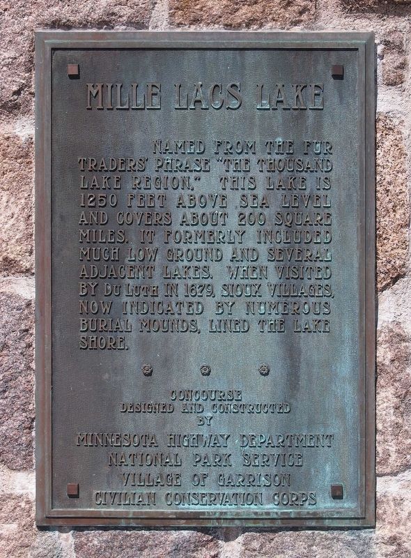
Names from the fur traders' phrase "The Thousand Lakes Region." This lake is 1250 feet above sea level and covers about 200 square miles. It formerly included much low ground and several adjacent lakes. When visited by Du Luth in 1679, Sioux villages, now indicated by numerous burial mounds, lined the lake shore.
Erected by Minnesota Highway Dept, National Park Service, Village of Garrison, and Civilian Conservation Corps.
Topics and series. This historical marker is listed in these topic lists: Colonial Era • Exploration • Native Americans • Waterways & Vessels. In addition, it is included in the Civilian Conservation Corps (CCC) series list. A significant historical year for this entry is 1250.
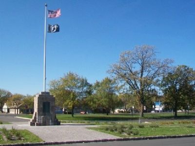
Location. 46° 17.644′ N, 93° 49.428′ W. Marker is in Garrison, Minnesota, in Crow Wing County. Marker is at the intersection of U.S. 169 and Central Street, on the left when traveling south on U.S. 169. Touch for map. Marker is at or near this postal address: Garrison Concourse Wayside Park, Garrison MN 56450, United States of America. Touch for directions.
Other nearby markers. At least 8 other markers are within 11 miles of this marker, measured as the crow flies. William A. Tauer (within shouting distance of this marker); Lake Mille Lacs Walleye (within shouting distance of this marker); Harry & Jeannette Ayer House (approx. 8.8 miles away); Mille Lacs Indian Boat Works (approx. 8.8 miles away); Tourist Cottage (approx. 8.8 miles away); Izatys (approx. 9.6 miles away); The Kathio Villages (approx. 10.3 miles away); The Wilford Site (approx. 10.3 miles away). Touch for a list and map of all markers in Garrison.
Also see . . .
1. Lake Mille Lacs Region. (Submitted on October 30, 2014, by William Fischer, Jr. of Scranton, Pennsylvania.)
2. Mille Lacs Lake: Building a sustainable future. (Submitted on October 30, 2014, by William Fischer, Jr. of Scranton, Pennsylvania.)
3. Mille Lacs Lake Cams. (Submitted on October 30, 2014, by William Fischer, Jr. of Scranton, Pennsylvania.)
Credits. This page was last revised on December 9, 2020. It was originally submitted on October 30, 2014, by William Fischer, Jr. of Scranton, Pennsylvania. This page has been viewed 826 times since then and 27 times this year. Photos: 1. submitted on October 30, 2014, by William Fischer, Jr. of Scranton, Pennsylvania. 2. submitted on July 22, 2016, by McGhiever of Minneapolis, Minnesota. 3. submitted on October 30, 2014, by William Fischer, Jr. of Scranton, Pennsylvania.


