Frederick in Frederick County, Maryland — The American Northeast (Mid-Atlantic)
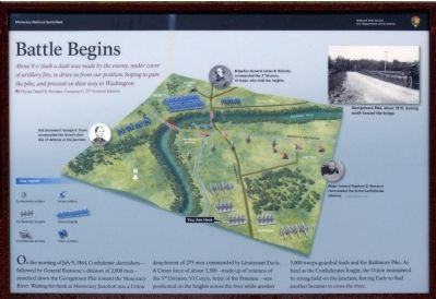
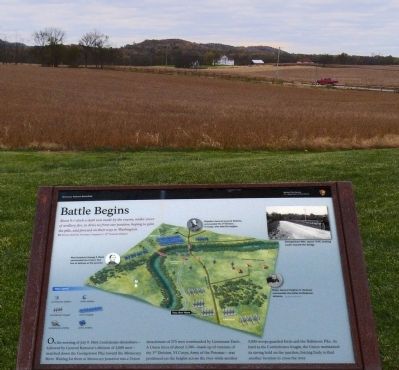
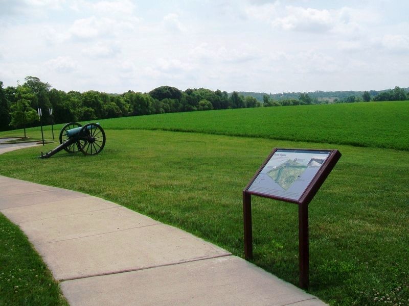
Battle Begins
Monocacy National Battlefield
About 8 o'clock a dash was made by the enemy under cover of artillery fire, to drive us from out position, hoping to gain the pike, and proceed on their way to Washington. — Private Daniel B. Freeman, Company G, 10th Vermont Infantry
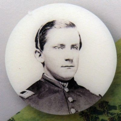
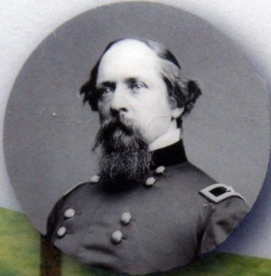
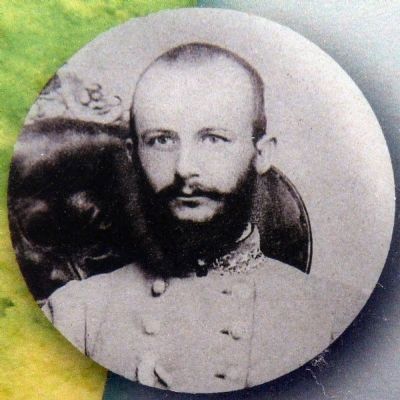
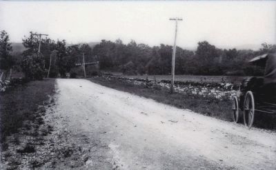
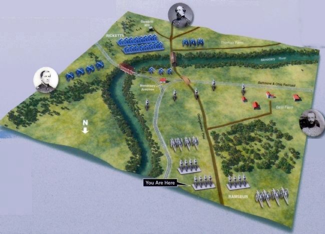
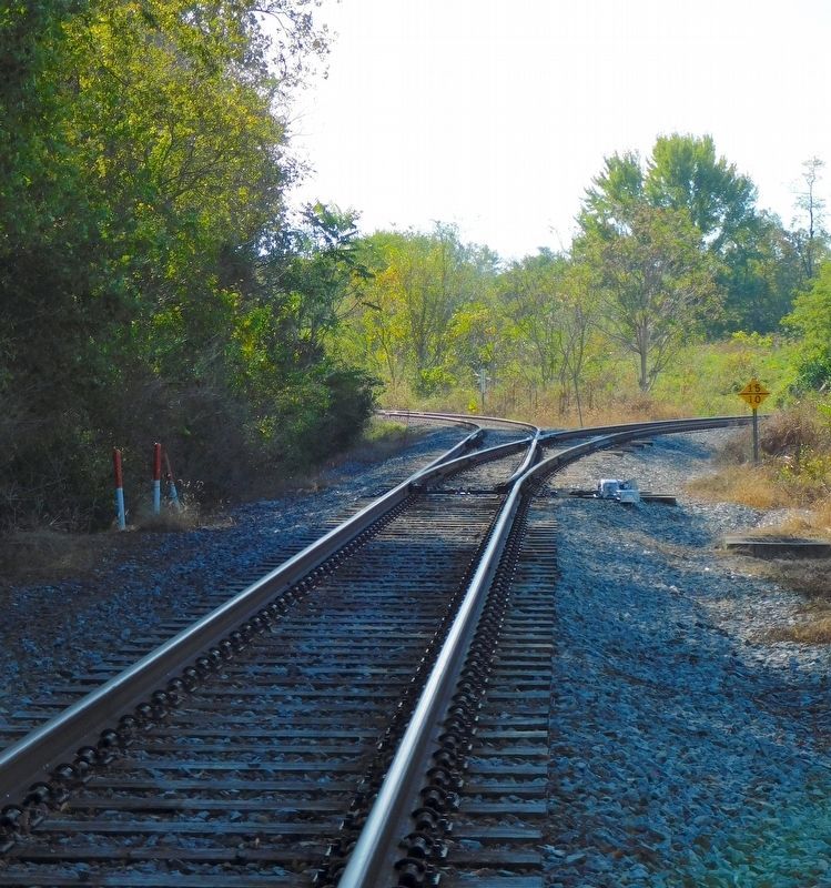
On the morning of July 9, 1864, Confederate skirmishers—followed by General Ramseur's division of 2,000 men—marched down the Georgetown Pike toward the Monocacy River. Waiting for them at Monocacy Junction was a Union detachment of 275 men commanded by Lieutenant Davis. A Union force of about 3,300—made up of veterans of the 3rd Division, VI Corps, Army of the Potomac—was positioned on the heights across the river while another 3,000 troops guarded fords and the Baltimore Pike. As hard as the Confederates fought, the Union maintained its strong hold on the junction, forcing Early to find another location to cross the river.
Erected by Monocacy National Battlefield.
Topics. This historical marker is listed in this topic list: War, US Civil. A significant historical date for this entry is July 9, 1994.
Location. 39° 22.622′ N, 77° 23.724′ W. Marker is in Frederick, Maryland, in Frederick County. Marker is at the intersection of Urbana Pike (Maryland Route 355) and New Technology Way on Urbana Pike. Located outside the Visitors Center at Monocacy National Battlefield. Touch for map. Marker is at or near this postal address: 5201 Urbana Pike, Frederick MD 21704, United States of America. Touch for directions.
Other nearby markers. At least 8 other markers are within walking distance of this marker. The Lost Order (a few steps from this marker); 1862 Antietam Campaign (a few steps from this marker); Monocacy Battlefield (a few steps from this marker); A Bold Plan (within shouting distance of this marker); Battle of Monocacy (about 500 feet away, measured in a direct line); This Boulder Overlooks the Monocacy Battlefield (about 500 feet away); Headquarters of Generals Robert E. Lee, "Stonewall" Jackson and Longstreet Sept. 6-9, 1862. (about 500 feet away); Nick of Time (approx. 0.4 miles away). Touch for a list and map of all markers in Frederick.
Also see . . . Monocacy National Battlefield. National Park Service (Submitted on November 3, 2014.)
Credits. This page was last revised on April 20, 2021. It was originally submitted on November 3, 2014, by Allen C. Browne of Silver Spring, Maryland. This page has been viewed 727 times since then and 27 times this year. Photos: 1, 2, 3, 4, 5, 6, 7. submitted on November 3, 2014, by Allen C. Browne of Silver Spring, Maryland. 8. submitted on July 24, 2016, by William Fischer, Jr. of Scranton, Pennsylvania. 9. submitted on April 16, 2021, by Bradley Owen of Morgantown, West Virginia. • Bernard Fisher was the editor who published this page.
