Near Trona in Inyo County, California — The American West (Pacific Coastal)
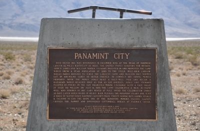
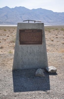
Panamint City
Erected 2002 by Yerba Buena Chapter No. 1, Slim Princess Chapter No. 395, Billy Holcomb Chapter No. 1069, and Platrix Chapter No. 2, E Clampus Vitus in cooperation with the Death Valley '49ers. (Marker Number 112.)
Topics and series. This historical marker is listed in these topic lists: Industry & Commerce • Notable Places • Settlements & Settlers. In addition, it is included in the E Clampus Vitus series list. A significant historical month for this entry is July 1925.
Location. 36° 1.991′ N, 117° 16.907′ W. Marker is near Trona, California, in Inyo County. Marker is at the intersection of Trona Wildrose Road and Ballarat Road, on the right when traveling north on Trona Wildrose Road. Marker is located immediately south of this intersection about 19 miles north of Trona. The ghost town of Ballarat is about 3.5 miles east of here by dirt road that crosses Panamint Dry Lake. Touch for map. Marker is in this post office area: Trona CA 93592, United States of America. Touch for directions.
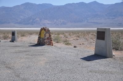
Other nearby markers. At least 6 other markers are within 17 miles of this marker, measured as the crow flies. Ballarat (here, next to this marker); a different marker also named Ballarat (here, next to this marker); a different marker also named Ballarat (approx. 3.3 miles away); Fish Canyon (approx. 10 miles away); Valley Wells (approx. 14.4 miles away); Barker Ranch (approx. 16.2 miles away).
Regarding Panamint City. Although the town was wiped out in a flood caused by several hours of rain, it was already on the decline. The silver became harder to find and extract from the mountain and tbe Bank Panic of 1875 ruined stock values. The big flood of 1876 scoured out the canyon pretty good. There still was silver, but it was too hard to find. The big deposit may have never been found. SOURCE: Billy Holcomb Chapter 1069 35th Anniversary Plaque Book by Phillip Holdaway
Additional commentary.
1. Panamint City
From the National Park Service Website – Death Valley Ghost Towns
(http://www.nps.gov/deva/historyculture/death-valley-ghost-towns.htm)
Panamint City was called the toughest, rawest, most hard-boiled little hellhole that ever passed for a civilized town. Its founders were outlaws who, while hiding from the law in the Panamint Mountains, found silver in Surprise Canyon and gave up their life of crime. In 1874 the town was at the height of its boom with a population of 2,000 citizens. By the fall of 1875 the boom was over, and in 1876 a flash flood destroyed most of the town. The chimney of the smelter is the most prominent remnant of the town's heyday. The site of Panamint City is accessible via a 5 mile hike from Chris Wicht’s Camp, which is located 6 miles northeast
of the ghost town of Ballarat. Mining in the area continued on a sporadic basis up until recent times. The ruins of old Panamint City were added to Death Valley National Park in October of 1994.
— Submitted December 31, 2011.
Credits. This page was last revised on November 5, 2020. It was originally submitted on December 20, 2011. This page has been viewed 949 times since then and 32 times this year. Last updated on November 5, 2020, by Craig Baker of Sylmar, California. Photos: 1, 2. submitted on December 20, 2011, by Michael Kindig of Elk Grove, California. 3. submitted on December 25, 2011, by Michael Kindig of Elk Grove, California. • J. Makali Bruton was the editor who published this page.


