Mojave in Kern County, California — The American West (Pacific Coastal)
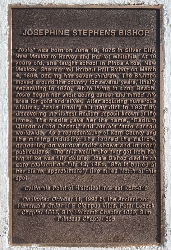
Josephine Stephens Bishop
Erected 1998 by Peter Lebeck Chapter No. 1866, Billy Holcomb Chapter No. 1069, Slim Princess Chapter No. 395, E Clampus Vitus. (Marker Number 93.)
Topics and series. This historical marker is listed in these topic lists: Arts, Letters, Music • Cemeteries & Burial Sites • Education • Entertainment • Industry & Commerce • Roads & Vehicles • Settlements & Settlers • Women. In addition, it is included in the E Clampus Vitus series list. A significant historical date for this entry is June 18, 1875.
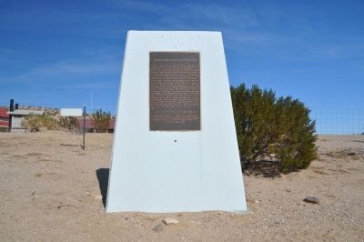
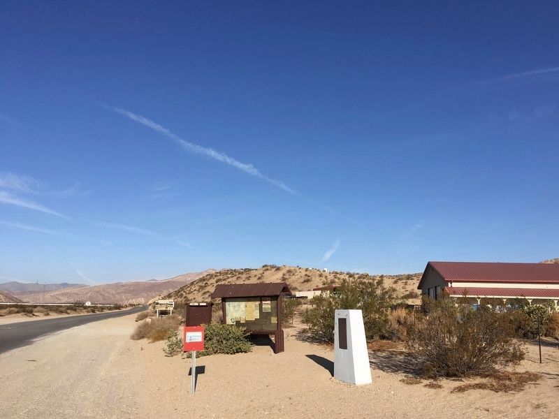
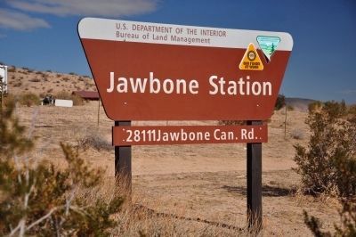
Location. 35° 18.049′ N, 118° 0.11′ W. Marker is in Mojave, California, in Kern County. Marker is at the intersection of Jawbone Canyon Road and Aerospace Highway (California Highway 14), on the right when traveling north on Jawbone Canyon Road. The marker is located about 19 miles north of Mojave. It is visible inside the fence at the BLM Jawbone facility, Jawbone Canyon Road is 1.1 miles south of the SR-14 & US 395 junction. Touch for map. Marker is at or near this postal address: 28111 Jawbone Canyon Road, Cantil CA 93519, United States of America. Touch for directions.
Other nearby markers. At least 7 other markers are within 13 miles of this marker, measured as the crow flies. Florence "Pancho" Barnes (approx. 0.4 miles away); Desert Spring (approx. 2.7 miles away); Red Rock Canyon State Park (approx. 4.6 miles away); William Henry "Burro" Schmidt (approx. 10.4 miles away); The Randsburg - Mojave Road (approx. 11.9 miles away); California City Veterans Memorial (approx. 12 miles away); 20-Mule Team Trail (approx. 12.9 miles away).
More about this marker. After her discovery of radium the name "Radium Queen of the Desert" was a natural "handle" and stuck. Although Josephine made a big strike, she unfortunately was not able to cash in big on it. Josephine died as result of a vehicle accident on July 12, 1951.
SOURCE: Billy Holcomb Chapter 1069 35th Anniversary Plaque Book by Phillip Holdaway
Also see . . . Josephine Stevens "Josie" Whitehill Bishop - Find-A-Grave. Josie's mining claim and grave site were recognized by the State of California, State Historical Resources Commission as Point of Historical Interest "Josie Bishop Mining Claim Site KER-010" on November 4, 1994. (Submitted on December 7, 2011, by Michael Kindig of Elk Grove, California.)
Credits. This page was last revised on November 21, 2021. It was originally submitted on December 7, 2011, by Michael Kindig of Elk Grove, California. This page has been viewed 1,471 times since then and 60 times this year. Last updated on November 3, 2014, by Michael Kindig of Elk Grove, California. Photos: 1. submitted on November 21, 2021, by Craig Baker of Sylmar, California. 2. submitted on December 7, 2011, by Michael Kindig of Elk Grove, California. 3. submitted on November 21, 2021, by Craig Baker of Sylmar, California. 4. submitted on January 16, 2012, by Michael Kindig of Elk Grove, California. • Bill Pfingsten was the editor who published this page.


