Oatman in Mohave County, Arizona — The American Mountains (Southwest)
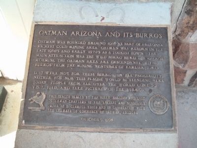
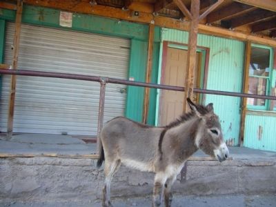
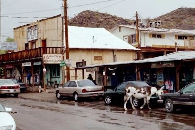
Oatman Arizona and its Burros
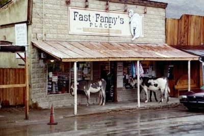
If it were not for these burros in all probability, neither you nor this plaque would be standing here today. People from all over the world come to visit, feed, and take pictures of the burros.
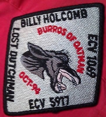
Erected 1994 by Billy Holcomb and Lost Dutchman Chapters of E Clampus Vitus and the Chamber of Commerce of Oatman, Arizona. (Marker Number 80.)
Topics and series. This historical marker is listed in these topic lists: Animals • Natural Resources • Notable Places. In addition, it is included in the E Clampus Vitus series list. A significant historical year for this entry is 1906.
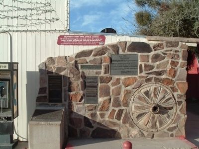
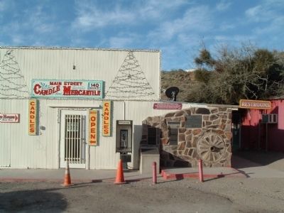
Location. 35° 1.546′ N, 114° 22.982′ W. Marker is in Oatman, Arizona, in Mohave County. Marker is at the intersection of Oatman -Topock Highway / Main Street (Old Route 66 and Rock Hound Road, on the left when traveling north on Oatman -Topock Highway / Main Street (Old Route 66. The marker is located at the Oatman COmmunity Hall & Mohave County Library. Oatman is located south of Bullhead City. Watch out for burros in the road. Touch for map. Marker is at or near this postal address: 140 Main Street, Oatman AZ 86433, United States of America. Touch for directions.
Other nearby markers. At least 8 other markers are within walking distance of this marker. Oatman (here, next to this marker); Oatman, Arizona (a few steps from this marker); Gold Mining Ghost Town, Oatman, Arizona (a few steps from this marker); Oatman Drug and Health Club (within shouting distance of this marker); Arizona Hotel (within shouting distance of this marker); a different marker also named Oatman (within shouting distance of this marker); Olive Ann Oatman Fairchild (within shouting distance of this marker); Durlin Hotel (within shouting distance of this marker). Touch for a list and map of all markers in Oatman.
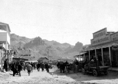
More about this marker. The Oatman family were headed west. Just days short of the Colorado River they were attacked by Indians. Six of the family were killed outright. The oldest boy, left for dead, was rescued by some friendly Indians and survived. Mary Anne died in captivity after about a year. Olive survived and was finally ransomed after 5 years of captivity near the future site of Oatman in February 1856 by a carpenter from Fort Yuma, Harry Grinnell.
SOURCE: Billy Holcomb Chapter 1069 35th Anniversary Plaque Book by Phillip Holdaway
Also see . . .
1. Oatman, AZ. History of Oatman, additional photos and a short video. (Submitted on April 4, 2010.)
2. Oatman. The Chamber of Commerce tells of the history, its location on the Historic Route 66, and offers suggestions for additional attractions in the Oatman area. (Submitted on April 4, 2010.)
Credits. This page was last revised on June 16, 2016. It was originally submitted on April 4, 2010, by Bill Kirchner of Tucson, Arizona. This page has been viewed 2,576 times since then and 33 times this year. Last updated on November 3, 2014, by Michael Kindig of Elk Grove, California. Photos: 1, 2, 3. submitted on April 4, 2010, by Bill Kirchner of Tucson, Arizona. 4. submitted on May 13, 2009, by Mike Stroud of Bluffton, South Carolina. 5. submitted on June 15, 2010, by Bill Kirchner of Tucson, Arizona. 6. submitted on May 13, 2009, by Mike Stroud of Bluffton, South Carolina. 7. submitted on April 4, 2010. 8. submitted on March 1, 2014, by Michael Kindig of Elk Grove, California. • Bill Pfingsten was the editor who published this page.
