Goffs in San Bernardino County, California — The American West (Pacific Coastal)
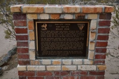
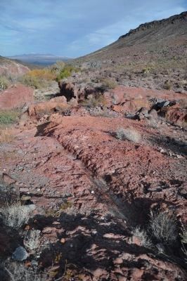
Pah-Ute Creek
Fort Pah-Ute
— Mojave Road —
The War Department ordered, in 1857, that the Mojave Indian Trail be used as a wagon road from the Colorado River to the Pacific Ocean. It became known as the Mojave Road.
Fort Pah-Ute was established at this location for the protection of travelers and the U.S. Mail over the Mojave Road. The outpost existed from November 27th, 1867, to May 3, 1868 when it was ordered abandoned. The building was designed by Maj. General Irvin McDowell and Major Henry Robert. The fort was constructed by the men of Company D, 9th U.S. Infantry Regiment.
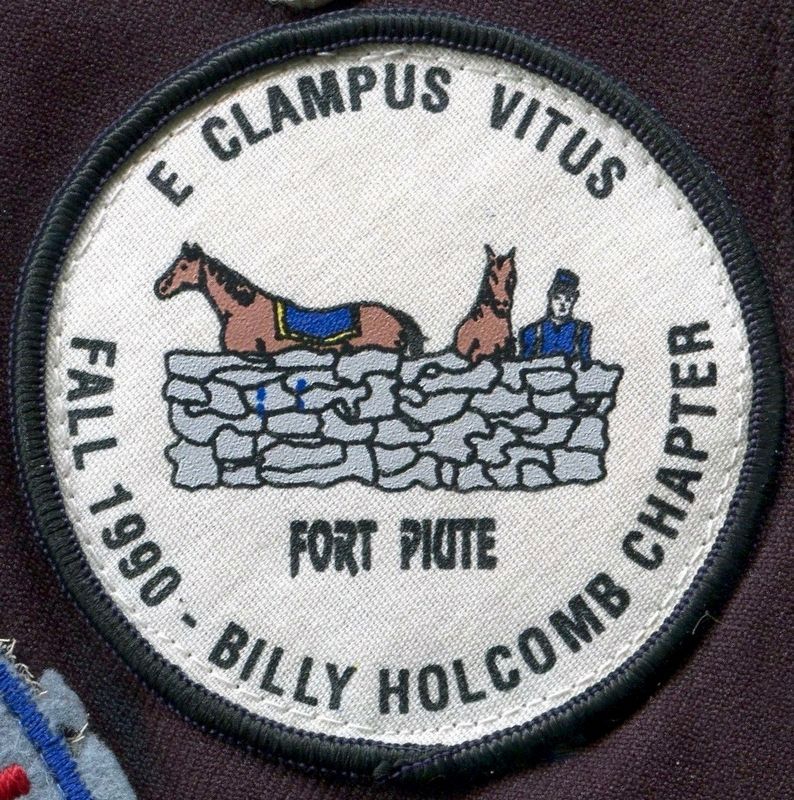
Erected 1990 by Billy Holcomb Chapter No. 1069, E Clampus Vitus and the Needles Resource Area of the Bureau of Land Management. (Marker Number 61.)
Topics and series. This historical marker is listed in these topic lists: Anthropology & Archaeology • Forts and Castles • Native Americans • Settlements & Settlers. In addition, it is included in the E Clampus Vitus, and the Mojave Road (Old Government Road) series lists. A significant historical month for this entry is May 1776.
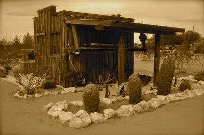
Location. 34° 55.23′ N, 115° 4.068′ W. Marker is in Goffs, California, in San Bernardino County. Marker is at the intersection of Lanfair Road and Goffs Road, on the right when traveling south on Lanfair Road. Marker is located approximately 500 feet northwest of this intersection, behind the Mojave Road Shack building on the Mojave Desert Heritage & Cultural Association property. Touch for map. Marker is at or near this postal address: 37198 Lanfair Road, Essex CA 92332, United States of America. Touch for directions.
Other nearby markers. At least 6 other markers are within 15 miles of this marker, measured as the crow flies. Goffs Schoolhouse (about 300 feet away, measured in a direct line); Army Camp at Goffs (about 300 feet away); a different marker also named Goffs Schoolhouse (about 300 feet away); John Wilkie Safety Roadside Rest Area At Fenner (approx. 11˝ miles away); Clipper Divisional Camp (approx. 11.6 miles away); Fort Pah-Ute (approx. 14.2 miles away).
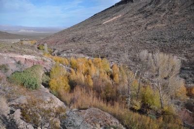
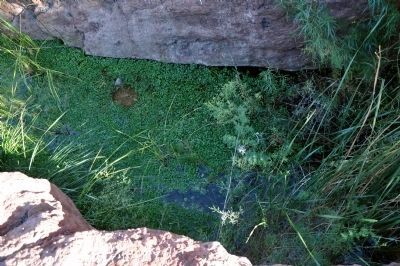
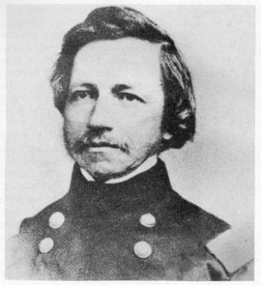
Regarding Pah-Ute Creek. Lt. Amiel Whipple, U.S. Army, while exploring the 35th parallel for a cross-country railroad route, camped at Piute Creek on March 3, 1854 and gave the Creek its name. The Whipple survey party, traveling with an equipment wagon, could not take the direct route up the canyon. They continued the trip by crossing Piute Hill. The grade over Piute Hill developed the reputation as one of the worst grades of all western roads. Upstream may be seen wheel ruts from steel-rimmed wagon wheels climbing up out of the canyon. SOURCE: Billy Holcomb Chapter 1069 35th Anniversary Plaque Book by Phillip Holdaway
Also see . . .
1. Historic California Posts: Fort Piute (Fort Beale, Fort Piute Hill). Established in late 1859 by Captain James H. Carleton, 1st Dragoons, this desert post was located near Piute Springs in the foothills of the Mute Mountain range, about 25 miles west of Fort Mojave and 10 miles north of Goffs in San Bernardino County, a few miles west of the California-Nevada border Captain Carleton named the post Fort Beale for Lieutenant Edward F. Beale, U.S. Navy, who, in 1857-59, with his caravan of camels, explored the area for a wagon road. The fort, actually a subpost of Camp Cady, was one of a chain of military stations erected to protect the travel route from San Bernardino across the Mojave Desert to Fort Mojave. (Submitted on December 20, 2011, by Michael Kindig of Elk Grove, California.)
2. Amiel Weeks Whipple (1818 - 1863). American soldier and topographical engineer. Born in Greenwich, Mass. He became a topographical engineer in the U.S. Army and engaged in surveying the U.S. borders with Canada and Mexico. (Submitted on December 22, 2011, by Michael Kindig of Elk Grove, California.)
Credits. This page was last revised on January 5, 2024. It was originally submitted on December 19, 2011, by Michael Kindig of Elk Grove, California. This page has been viewed 1,068 times since then and 29 times this year. Last updated on November 3, 2014, by Michael Kindig of Elk Grove, California. Photos: 1. submitted on December 19, 2011, by Michael Kindig of Elk Grove, California. 2, 3, 4, 5, 6. submitted on December 24, 2011, by Michael Kindig of Elk Grove, California. 7. submitted on December 22, 2011, by Michael Kindig of Elk Grove, California. 8. submitted on August 8, 2016, by Michael Kindig of Elk Grove, California. • Bill Pfingsten was the editor who published this page.
