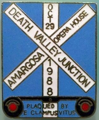
Death Valley Junction in Inyo County, California — The American West (Pacific Coastal)
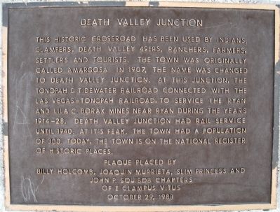
Death Valley Junction
Erected 1988 by Billy Holcomb, Joaquin Murrieta, Slim Princess and John P. Squibob Chapters of E. Clampus Vitus. (Marker Number 51.)
Topics and series. This historical marker is listed in these topic lists: Notable Places • Railroads & Streetcars • Settlements & Settlers. In addition, it is included in the E Clampus Vitus series list. A significant historical year for this entry is 1907.
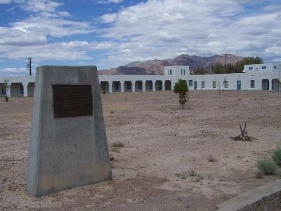
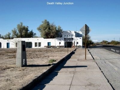
Location. 36° 18.098′ N, 116° 24.857′ W. Marker is in Death Valley Junction, California, in Inyo County. Marker is on State Highway 127, 0.2 miles south of State Highway 190, on the right when traveling south. The location of Death Valley Junction is at SR-127 and SR-190. The marker is located front of the Amargosa Hotel/Opera House complex. Touch for map. Marker is in this post office area: Death Valley CA 92328, United States of America. Touch for directions.
Other nearby markers. At least 6 other markers are within 13 miles of this marker, measured as the crow flies. Amargosa Opera House (within shouting distance of this marker); Jack Longstreet (approx. 7.7 miles away in Nevada); Amargosa Valley's Clay Industry (approx. 7.7 miles away in Nevada); A Changing Landscape (approx. 10.4 miles away in Nevada); Cultural Clues to the Past (approx. 10˝ miles away in Nevada); Jack's Stone Cabin (approx. 12˝ miles away in Nevada).
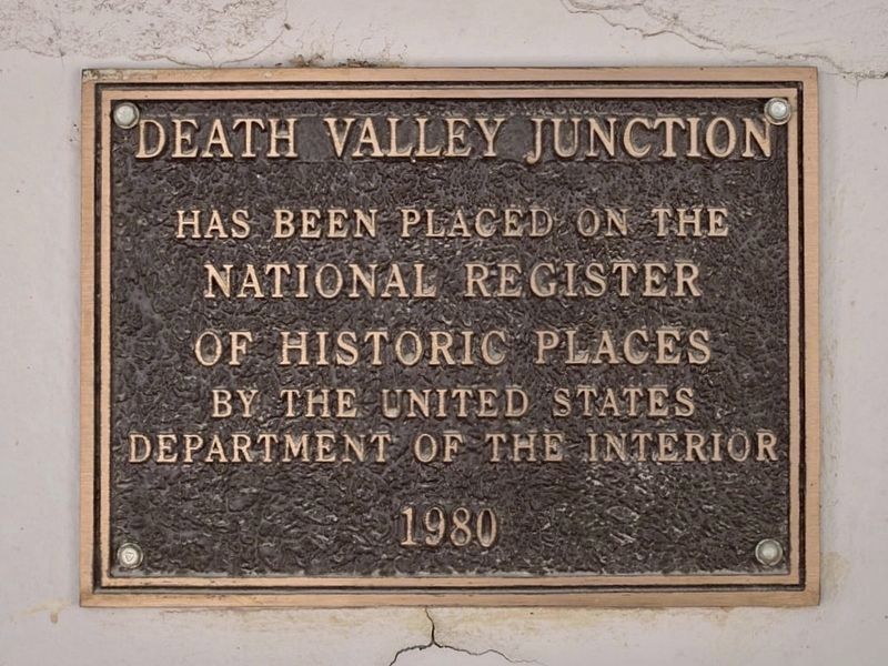
More about this marker. At the same time this Plaque was being erected and dedicated, the Grand Council of E Clampus Vitus dedicated a marker commemorating the Amargosa Opera House. It is fastened to the east side of the Opera House, which is now listed on the National Register of Historic Places.
SOURCE: Billy Holcomb Chapter 1069 35th Anniversary Plaque Book by Phillip Holdaway
Credits. This page was last revised on March 27, 2024. It was originally submitted on November 19, 2008, by Richard Wisehart of Sonora, California. This page has been viewed 2,675 times since then and 36 times this year. Last updated on November 3, 2014, by Michael Kindig of Elk Grove, California. Photos: 1. submitted on November 19, 2008, by Richard Wisehart of Sonora, California. 2. submitted on July 5, 2010, by Mike Stroud of Bluffton, South Carolina. 3. submitted on November 19, 2008, by Richard Wisehart of Sonora, California. 4. submitted on March 27, 2024, by Craig Baker of Sylmar, California. 5. submitted on August 8, 2016, by Michael Kindig of Elk Grove, California. • Bill Pfingsten was the editor who published this page.
