Closter in Bergen County, New Jersey — The American Northeast (Mid-Atlantic)
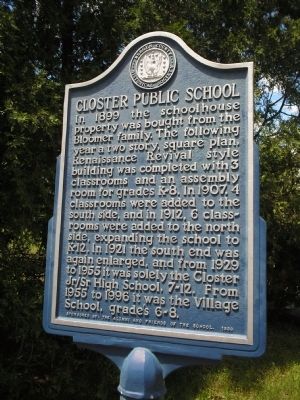
Closter Public School
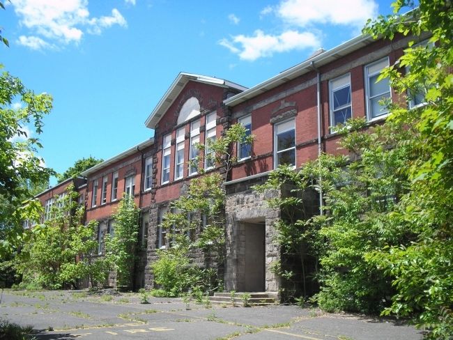
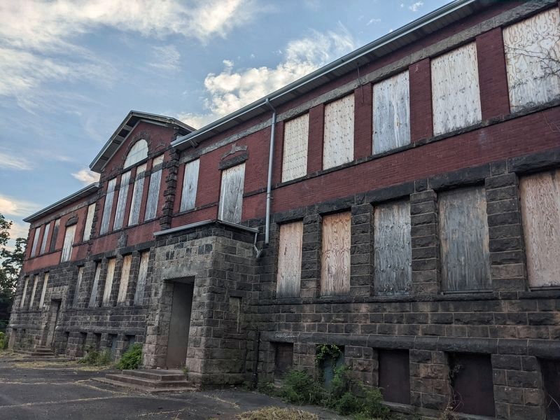
In 1899 the schoolhouse property was bought from the Bloomer family. The following year a two story, square plan, Renaissance Revival style building was completed with 3 classrooms and an assembly room for grades K-8. In 1907, 4 classrooms were added to the south side, and in 1912, 6 classrooms were added to the north side, expanding the school to K-12. In 1921 the south end was again enlarged, and from 1929 to 1955 it was solely the Closter Jr/Sr High School, 7-12. From 1955 to 1996 it was the Village School, grade’s 6-8.
Erected 1999 by Bergen County Historical Society.
Topics and series. This historical marker is listed in this topic list: Education. In addition, it is included in the New Jersey, Bergen County Historical Society series list. A significant historical year for this entry is 1899.
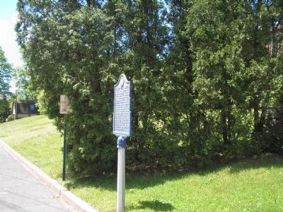
Location. 40° 58.297′ N, 73° 57.773′ W. Marker is in Closter, New Jersey, in Bergen County. Marker is at the intersection of Durie Avenue and High Street, on the right when traveling south on Durie Avenue. Touch for map. Marker is in this post office area: Closter NJ 07624, United States of America. Touch for directions.
Other nearby markers. At least 8 other markers are within one mile of this marker, measured as the crow flies. Reformed Church of Closter (approx. 0.2 miles away); Harold Hess Lustron House (approx. ¼ mile away); Hilderbrant Naugle House (approx. ¼ mile away); Walter Parcells Homestead (approx. 0.6 miles away); The Closter Horseman (approx. 0.6 miles away); Sautes Tave’s Begraven Ground (approx. 0.8 miles away); Douwe Talema (approx. 0.8 miles away); Demarest Railroad Station (approx. one mile away). Touch for a list and map of all markers in Closter.
Also see . . .
1. Bergen County Historical Society. Society website homepage (Submitted on May 25, 2008, by Bill Coughlin of Woodland Park, New Jersey.)
2. Closter Alumni and Friends of the Schools. (Submitted on April 2, 2012, by Robert R. Rothmann of Tenafly, New Jersey.)
Credits. This page was last revised on October 19, 2022. It was originally submitted on May 25, 2008, by Bill Coughlin of Woodland Park, New Jersey. This page has been viewed 3,282 times since then and 85 times this year. Photos: 1, 2, 3. submitted on May 25, 2008, by Bill Coughlin of Woodland Park, New Jersey. 4. submitted on October 15, 2022, by Bruce InCharlotte of Charlotte, North Carolina.


