Moira in Franklin County, New York — The American Northeast (Mid-Atlantic)
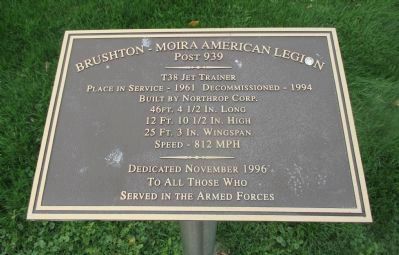
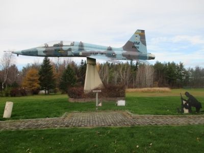
T38 Jet Trainer
Place in service - 1961, Decommissioned - 1994
Built by Northrup corp.
46ft. 4 1/2 in. long
12ft. 10 1/2 in. high
25ft. 3in. wingspan
Speed - 812 mph
——————
Dedicated November 1996
to all those who
served in the armed forces
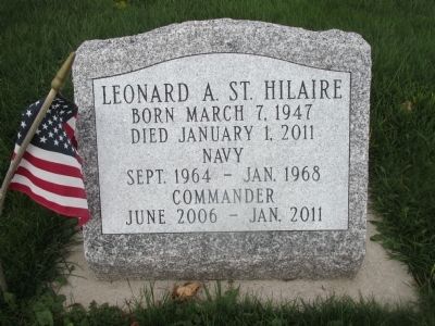
Leonard A. St. Hilaire, born March 7, 1947; died January 1, 2011. Navy, Sept. 1964 - Jan. 1968. Commander, June 2006 - Jan. 2011
Erected 1996 by Brushton-Moira American Legion Post 939.
Topics. This historical marker is listed in this topic list: Air & Space. A significant historical month for this entry is January 2002.
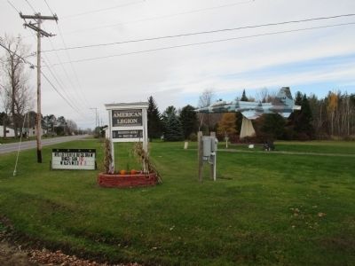
Location. 44° 49.558′ N, 74° 32.121′ W. Marker is in Moira, New York, in Franklin County. Marker is at the intersection of U.S. 11 and Sayles Road (County Route 17), on the left when traveling east on U.S. 11. US 11 is marked north-south but is compass east-west across Franklin County. Touch for map. Marker is in this post office area: Moira NY 12957, United States of America. Touch for directions.
Other nearby markers. At least 8 other markers are within 8 miles of this marker, measured as the crow flies. Site of First Starch Factory (approx. 0.6 miles away); Union Church (approx. 1.2 miles away); Chalybeate Springs (approx. 1.3 miles away); Site of Home, Luther Bradish (approx. 2.6 miles away); World War II (approx. 6.7 miles away); In Memory of Our Fallen Heroes (approx. 6.7 miles away); Floyd F. Malette (approx. 6.7 miles away); Bangor's First Settler (approx. 7.4 miles away). Touch for a list and map of all markers in Moira.
Credits. This page was last revised on June 16, 2016. It was originally submitted on November 24, 2014, by Anton Schwarzmueller of Wilson, New York. This page has been viewed 359 times since then and 16 times this year. Photos: 1, 2, 3, 4. submitted on November 24, 2014, by Anton Schwarzmueller of Wilson, New York. • Bill Pfingsten was the editor who published this page.


