St. Joseph in Buchanan County, Missouri — The American Midwest (Upper Plains)
Fort Smith
The Union's hope to hold St. Joseph
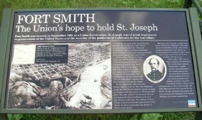
Fort Smith was erected in September 1861 as a Union fortification. St. Joseph was of great importance to preservation of the United States and the security of the goldfields of California for the war effort.
A military presence in St. Joseph became essential. St. Joseph was evenly split in its sentiments between the Union and Confederacy. The city had been controlled several times by Union and Confederate forces up to and during the early part of 1861.
A riot in May 1861 led by former mayor, M. Jeff Thompson, brought a unit of dragoons from Fort Leavenworth and the 2nd Iowa Infantry. When these troops left in late August, St. Joseph was again open to Confederate occupation. In September, the Confederates left when word came that the 16th Illinois Infantry had been ordered to occupy St. Joseph.
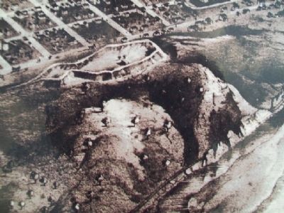
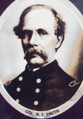
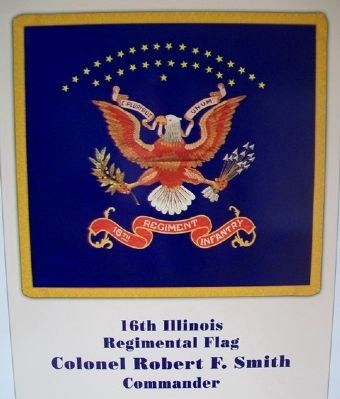
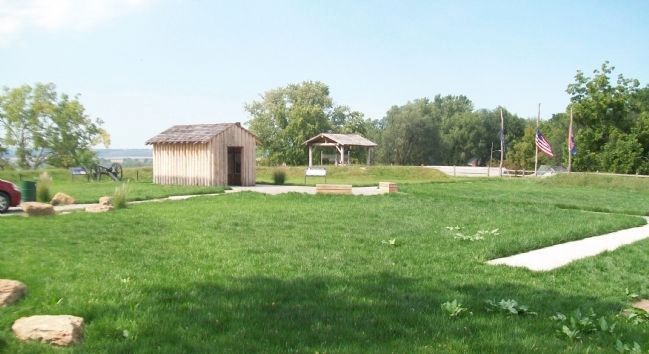
In late September 1861, the 52nd Illinois Infantry and the 39th Ohio [Infantry] Regiment joined the 16th Illinois Infantry, setting up camp on Prospect Hill, then known as Telegraph Hill [image on] (left). This hill, north of the business district overlooked the Missouri River to the west and the city to the east. The soldiers built an oblong circle of earthworks and named it Fort Smith, for their commander Col. Robert F. Smith (inset image).
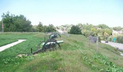
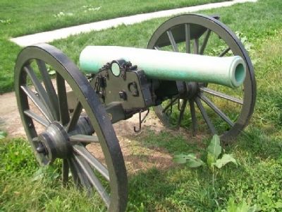
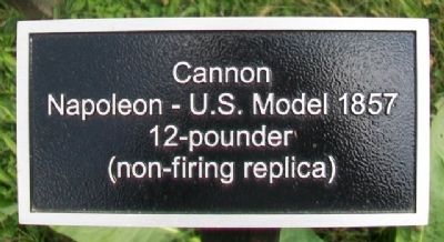
Men who were accused, or found to be guilty of Southern sympathies were often put to work building the fort. The Union troops stationed here were able to see both up and down the Missouri River and had a clear view of the city. It was fortified with 12 cannon.
In December 1861, two of those cannons were fired over the city for target practice. Afterwards, a signed petition was presented to Col. Smith asking that he notify civil authorities before opening fire on the city again, so women and children could be evacuated. Fort Smith became critical to the United States in these early months. By 1862, Missouri had been secured for the Union. Troops remained throughout the war to protect the Hannibal & St. Joseph Railroad and enforce martial law.
[Map inset caption reads]
1861: Union in Crisis
Within a span of roughly two months, the Union had been defeated in three successive battles. The Confederacy was well on its way to gaining military control over the state of Missouri.
main image:
Fort Smith atop Telegraph Hill
Erected 2014 by Missouri Humanities Council and Many Other Donors.
Topics. This historical marker is listed in these topic lists: Forts and Castles • War, US Civil. A significant historical month for this entry is May 1861.
Location. 39° 46.351′ N, 94° 51.748′ W. Marker is in St. Joseph, Missouri, in Buchanan County. Marker is in Fort Smith Park, on Prospect Hill, accessed from Bellevue and Michel Streets. Touch for map. Marker is in this post office area: Saint Joseph MO 64501, United States of America. Touch for directions.
Other nearby markers. At least 8 other markers are within walking distance of this marker. St. Joseph (within shouting distance of this marker); A Path To Freedom (within shouting distance of this marker); The Men of the Corps of Discovery / The Lewis and Clark Expedition (approx. 0.4 miles away); Pony Express (approx. 0.4 miles away); Joseph Robidoux (approx. 0.4 miles away); The California - Oregon Trail (approx. 0.4 miles away); St. Michael's Prairie / The Lewis and Clark Expedition (approx. 0.4 miles away); Buchanan County Courthouse (approx. half a mile away). Touch for a list and map of all markers in St. Joseph.
Also see . . .
1. Fort Smith Park. St. Joseph MO webpage (Submitted on November 30, 2014, by William Fischer, Jr. of Scranton, Pennsylvania.)
2. Missouri's Civil War. Website homepage (Submitted on November 30, 2014, by William Fischer, Jr. of Scranton, Pennsylvania.)
3. Civil War on the Western Border. Website homepage (Submitted on November 30, 2014, by William Fischer, Jr. of Scranton, Pennsylvania.)
Credits. This page was last revised on May 27, 2022. It was originally submitted on November 30, 2014, by William Fischer, Jr. of Scranton, Pennsylvania. This page has been viewed 1,196 times since then and 100 times this year. Photos: 1, 2, 3, 4, 5, 6, 7, 8. submitted on November 30, 2014, by William Fischer, Jr. of Scranton, Pennsylvania.
