Near Putnam in Callahan County, Texas — The American South (West South Central)
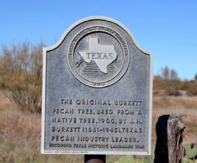
Burkett Pecan Tree
Erected 1966 by State Historical Survey Committee and Callahan County Historical Survey Committee. (Marker Number 573.)
Topics and series. This historical marker is listed in these topic lists: Agriculture • Horticulture & Forestry. In addition, it is included in the Historic Trees series list. A significant historical year for this entry is 1900.
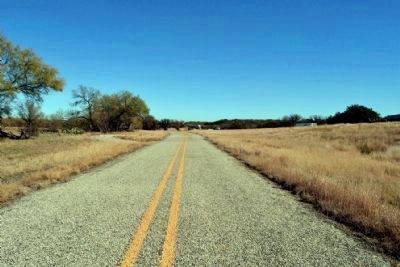
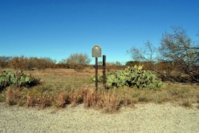
Location. 32° 22.686′ N, 99° 9.674′ W. Marker is near Putnam, Texas, in Callahan County. Marker is on I-20 Frontage (North) Road, 1.1 miles west of County Road 425, on the right when traveling west. The frontage road is a dead-end road; the marker is 0.1 miles east of the end of the road. Touch for map. Marker is in this post office area: Putnam TX 76469, United States of America. Touch for directions.
Other nearby markers. At least 8 other markers are within 9 miles of this marker, measured as the crow flies. Hittson Ranch Headquarters on Battle Creek (approx. 1˝ miles away); Dothan Cemetery (approx. 3.3 miles away); Scranton Cemetery (approx. 5.7 miles away); Site of Scranton Academy (approx. 5.8 miles away); Military Telegraph Line (approx. 7.3 miles away); Site of Callahan City (approx. 8.3 miles away); Callahan City Cemetery (approx. 8.3 miles away); Atwell Cemetery (approx. 8˝ miles away). Touch for a list and map of all markers in Putnam.
Regarding Burkett Pecan Tree. The original grafted Burkett Pecan tree was located directly south of the marker across the frontage road. The tree died (one source indicating it died in 1998), and no remnants of the tree remain. The link to the Famous Trees of Texas below includes a photograph of the tree when it existed.
Also see . . .
1. Original Burkett Pecan. From the Texas State Historical Association’s “Handbook of Texas Online”. (Submitted on December 1, 2014.)
2. Original Burkett Pecan - Famous Trees of Texas. Includes photograph of the tree when it existed. (Submitted on December 1, 2014.)
Additional commentary.
1. 1912 Agriculture Yearbook
From the Yearbook of the United States Department of Agriculture - 1912, Washington: Government Printing Office, 1913, pp. 273-274:
The original tree of the Burkett pecan was first discovered by Mr. J.H. Burkett, of Clyde Tex. It was a wild tree then standing in a crowded location near the banks of Battle Creek, 3 miles east of Putnam, Callahan County, Tex., on a farm owned at that time by Mr. Y.A. Orr. After observing this tree for three seasons Mr. Burkett became so favorably impressed with its bearing habit and the evident merits of the nut that on July 4, 1903, he inserted two buds from it in a pecan sprout grown from a stump cut two years before, which stood in the open some 300 yards from the parent tree and on land then owned by him. This budded tree made a rapid growth, and in 1904 it matured two nuts. From that year the annual crops increased in size until 1910, when it yielded 10 pounds. The following year the crop fell to 6 pounds. In 1912 it again bore well, although trespassers gathered practically the entire crop, and the exact yield is therefore not known. The parent tree passed out of control of Mr. Burkett and was killed by being cut to the ground in the spring of 1912. Note To Editor only visible by Contributor and editor
— Submitted December 1, 2014.

Photographed By Duane Hall, November 26, 2014
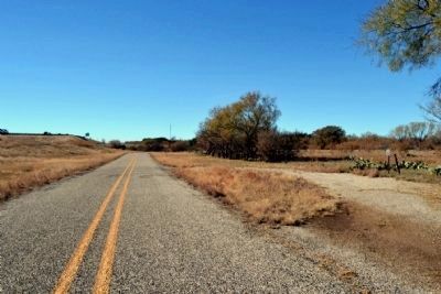
4. View to East Along I-20 Frontage Road
The original grafted Burkett Pecan tree was located on the right (south) side of the frontage road (between the frontage road and the freeway) directly across from the marker
Credits. This page was last revised on November 2, 2020. It was originally submitted on December 1, 2014, by Duane Hall of Abilene, Texas. This page has been viewed 1,299 times since then and 71 times this year. Photos: 1, 2, 3, 4. submitted on December 1, 2014, by Duane Hall of Abilene, Texas.


