West Allis in Milwaukee County, Wisconsin — The American Midwest (Great Lakes)
Honey Creek Settlement
Inscription.
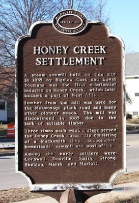
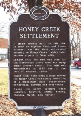
A steam sawmill built on this site in 1855 by Bigelow Case and Edwin Youmans was the first substantial industry on Honey Creek, which later became part of West Allis.
Lumber from the mill was used for the Mukwonago plank road and many other pioneer needs. The mill was discontinued in 1885 due to the lack of suitable timber.
Three times each week a stage served the Honey Creek community consisting of a blacksmith shop, schoolhouse, homesteads, sawmill and post office.
Among the early settlers were: Cornwall, Douville, Smith, Strong, Sheldon, Marsh, and Marlott.
Erected 1959 by Milwaukee County Historical Society.
Topics. This historical marker is listed in this topic list: Settlements & Settlers. A significant historical year for this entry is 1855.
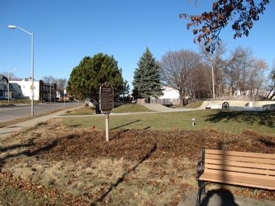
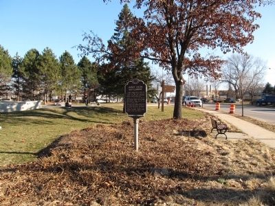
Location. 43° 0.647′ N, 88° 1.006′ W. Marker is in West Allis, Wisconsin, in Milwaukee County. Marker is at the intersection of West National Avenue and South 84th Street, on the right when traveling west on West National Avenue. Marker is located in Joyce Ann Radtke Park. Touch for map. Marker is in this post office area: Milwaukee WI 53214, United States of America. Touch for directions.
Other nearby markers. At least 8 other markers are within 2 miles of this marker, measured as the crow flies. Old Honey Creek School Site (about 500 feet away, measured in a direct line); Wadhams Gas Station (approx. half a mile away); Tee Sisikeja (Bad Waters Village) (approx. 0.6 miles away); Wisconsin State Fair Park (approx. 0.6 miles away); Camp Harvey (approx. 0.6 miles away); President Abraham Lincoln (approx. 0.6 miles away); Harrison Ludington Farm (approx. 1.7 miles away); Meadowmere (approx. 1.8 miles away). Touch for a list and map of all markers in West Allis.
Credits. This page was last revised on June 16, 2016. It was originally submitted on December 15, 2014, by Paul Fehrenbach of Germantown, Wisconsin. This page has been viewed 761 times since then and 61 times this year. Photos: 1, 2, 3, 4. submitted on December 15, 2014, by Paul Fehrenbach of Germantown, Wisconsin. • Bill Pfingsten was the editor who published this page.


