Milford in Oakland County, Michigan — The American Midwest (Great Lakes)
Phelps Saw Mill and Distillery
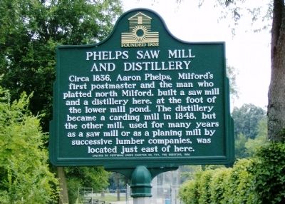
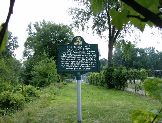
Circa 1836, Aaron Phelps, Milford’s first postmaster and the man who platted north Milford, built a saw mill and a distillery here, at the foot of the lower mill pond. The distillery became a carding mill in 1848, but the other mill, used for many years as a saw mill or as a planing mill by successive lumber companies, was located just east of here.
Erected 1990 by Pettibone Creek Chapter No. 777, the Questers.
Topics. This historical marker is listed in these topic lists: Communications • Industry & Commerce • Settlements & Settlers. A significant historical year for this entry is 1836.
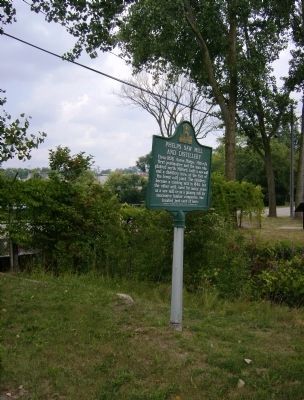
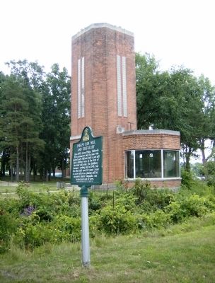
Location. 42° 35.358′ N, 83° 36.17′ W. Marker is in Milford, Michigan, in Oakland County. Marker is on West Liberty Street, 0.1 miles east of Cabinet Street, on the right when traveling east. Marker is located near Milford's historic Pettibone Creek Hydroelectric Station, just west of the powerhouse across Pettibone Creek. It is within a fenced area at the north end of Milford's Central Park. Touch for map. Marker is at or near this postal address: 225 West Liberty Street, Milford MI 48380, United States of America. Touch for directions.
Other nearby markers. At least 8 other markers are within walking distance of this marker. A Ford Village Industry (a few steps from this marker); Pettibone Creek Hydroelectric Station (a few steps from this marker); Milford's Water Works Building (about 700 feet away, measured in a direct line); Motley Lights (approx. 0.2 miles away); Arthur's Park (approx. 0.2 miles away); Wells Brothers Foundry (approx. 0.2 miles away); Milford Rural Agricultural School (approx. ¼ mile away); Wood-Hubbell House (approx. ¼ mile away). Touch for a list and map of all markers in Milford.
Also see . . .
1. The Settling of Milford, Its Early Pioneers, Mills and First Era of Prosperity.
North Milford Village was platted in 1838 by Aaron Phelps, who came to Milford in 1834. In 1835 Phelps purchased land and in 1836 Phelps dammed Pettibone Creek at the foot of what is now the Lower Mill Pond in North Milford Village. Just south of West Liberty Street, he built a distillery and a sawmill. The dam and Lower Mill Pond remain, but the early mills are gone. (Submitted on December 16, 2014, by Cosmos Mariner of Cape Canaveral, Florida.)
2. A Brief History of Milford, Michigan.
In 1836 Aaron Phelps built a dam on Pettibone Creek and created the Lower Mill Pond, building a sawmill and distillery at its foot. The Upper Mill Pond was developed in 1845, and had at least five different mills on it. Milford was established as a township in
1835, and then, on April 12, 1869, Milford Village was incorporated. The main concerns of the first Village Council were streets and sidewalks and the formation of a fire department (Submitted on December 16, 2014, by Cosmos Mariner of Cape Canaveral, Florida.)
Credits. This page was last revised on February 12, 2023. It was originally submitted on December 16, 2014, by Cosmos Mariner of Cape Canaveral, Florida. This page has been viewed 667 times since then and 55 times this year. Photos: 1, 2, 3, 4. submitted on December 16, 2014, by Cosmos Mariner of Cape Canaveral, Florida. • Al Wolf was the editor who published this page.


