Croom in Prince George's County, Maryland — The American Northeast (Mid-Atlantic)
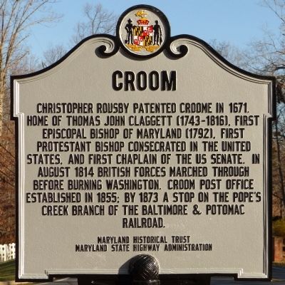
Croom
Erected 2014 by The Maryland Historical Trust, Maryland State Highway Administration.
Topics. This historical marker is listed in these topic lists: Churches & Religion • Colonial Era • Railroads & Streetcars • War of 1812. A significant historical year for this entry is 1671.
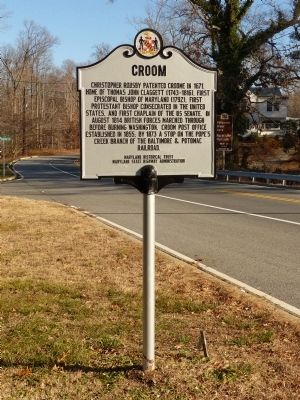
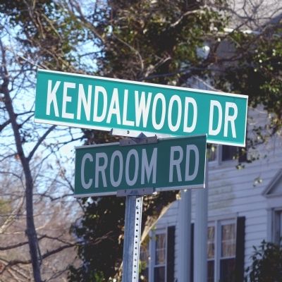
Location. 38° 45.559′ N, 76° 45.637′ W. Marker is in Croom, Maryland, in Prince George's County. Marker is at the intersection of Croom Road (Maryland Route 382) and Kendalwood Drive, on the right when traveling south on Croom Road. Touch for map. Marker is at or near this postal address: 9536 Croom Road, Upper Marlboro MD 20772, United States of America. Touch for directions.
Other nearby markers. At least 8 other markers are within 3 miles of this marker, measured as the crow flies. St. Simon's Episcopal Mission (approx. ¾ mile away); Enemy Bluff (approx. ¾ mile away); St. Thomas' Parish Church (approx. ¾ mile away); Bishop Thomas John Claggett (approx. 0.8 miles away); St. Simon's Mission, 1896 (approx. 0.8 miles away); Bellefields (approx. 1.3 miles away); Charles Town (approx. 2.7 miles away); Eastern Bluebird (approx. 2.7 miles away). Touch for a list and map of all markers in Croom.
Also see . . .
1. Croom (86A-027). (PDF) Historic District Community Survey. (Submitted on December 28, 2014, by Allen C. Browne of Silver Spring, Maryland.)
2. Croom Historic District, Maryland Inventory of Historic Properties. (Submitted on August 11, 2019.)
Credits. This page was last revised on August 20, 2019. It was originally submitted on December 28, 2014, by Allen C. Browne of Silver Spring, Maryland. This page has been viewed 713 times since then and 48 times this year. Photos: 1, 2, 3, 4. submitted on December 28, 2014, by Allen C. Browne of Silver Spring, Maryland. • Bill Pfingsten was the editor who published this page.


