Doswell in Hanover County, Virginia — The American South (Mid-Atlantic)
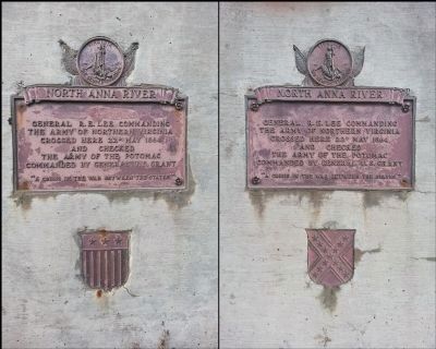
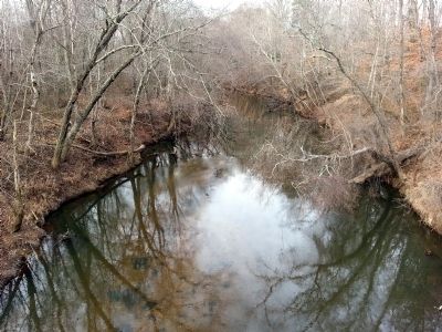
North Anna River
General R.E. Lee commanding the Army of Northern Virginia crossed here 22d May 1864 and checked the Army of the Potomac commanded by General U.S. Grant
Topics and series. This historical marker is listed in these topic lists: Bridges & Viaducts • War, US Civil • Waterways & Vessels. In addition, it is included in the Former U.S. Presidents: #18 Ulysses S. Grant series list. A significant historical date for this entry is May 22, 1864.
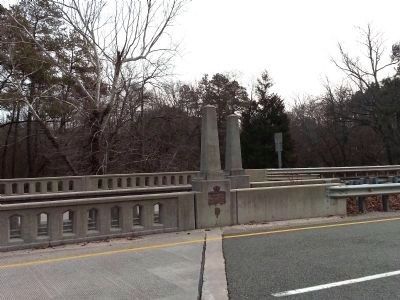
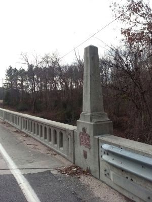
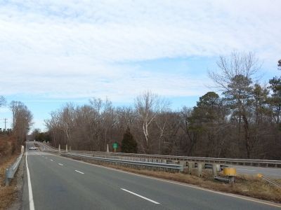
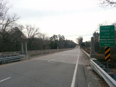
Location. 37° 53.341′ N, 77° 27.969′ W. Marker is in Doswell, Virginia, in Hanover County. Marker is on Washington Highway (U.S. 1) south of Oxford Road (Virginia Route 689) when traveling south. Located in the southbound lane at either end of the Fox Bridge. Touch for map. Marker is in this post office area: Doswell VA 23047, United States of America. Touch for directions.
Other nearby markers. At least 8 other markers are within 2 miles of this marker, measured as the crow flies. Lafayette and Cornwallis (about 300 feet away, measured in a direct line); Caroline County / Hanover County (approx. 0.2 miles away); Lee and Grant (approx. 0.2 miles away); Long Creek Action (approx. 0.3 miles away); North Anna River Campaign (approx. 0.6 miles away); One More River to Cross (approx. 1.4 miles away); Artillery Duel (approx. 1.4 miles away); The Inverted V (approx. 1˝ miles away). Touch for a list and map of all markers in Doswell.
More about this marker. There are two identical plaques on the bridge; on the north bank a Federal shield; on the south bank a Confederate shield.
Credits. This page was last revised on March 2, 2022. It was originally submitted on December 31, 2014, by Bernard Fisher of Richmond, Virginia. This page has been viewed 647 times since then and 13 times this year. Photos: 1, 2, 3, 4, 5, 6. submitted on December 31, 2014.
