Pensacola in Escambia County, Florida — The American South (South Atlantic)
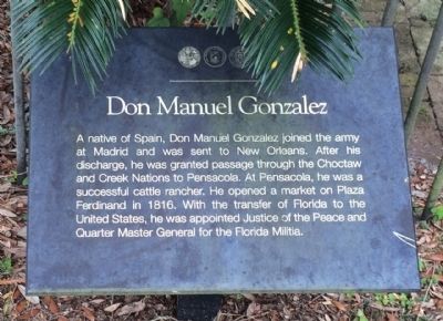
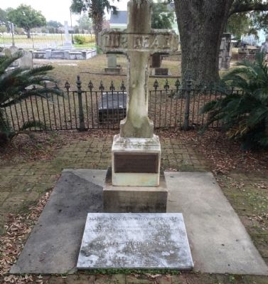
Don Manuel Gonzalez
Erected by the City of Pensacola, the University of West Florida & the St. Michael's Cemetery Foundation.
Topics. This historical marker is listed in these topic lists: Colonial Era • Native Americans • Settlements & Settlers. A significant historical year for this entry is 1816.
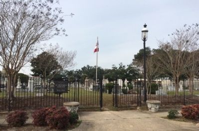
Location. 30° 24.854′ N, 87° 12.541′ W. Marker is in Pensacola, Florida, in Escambia County. Marker can be reached from the intersection of North Alcaniz Street and W.D. Childers Plaza. Touch for map. Marker is at or near this postal address: 6 North Alcaniz Street, Pensacola FL 32502, United States of America. Touch for directions.
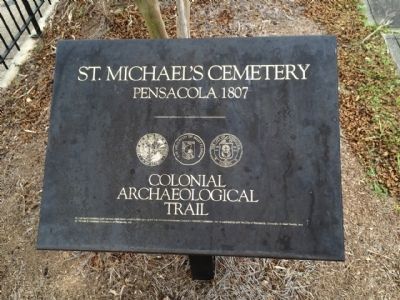
Other nearby markers. At least 8 other markers are within walking distance of this marker. Ebenezer Dorr (a few steps from this marker); John Innerarity (within shouting distance of this marker); Jose Noriega (within shouting distance of this marker); Eugenio Antonio Sierra (within shouting distance of this marker); Salvador T. Pons (within shouting distance of this marker); Daniel Sullivan (within shouting distance of this marker); P.K. Yonge (within shouting distance of this marker); St. Michaels Cemetery (about 300 feet away, measured in a direct line). Touch for a list and map of all markers in Pensacola.
Also see . . . Pensapedia article. (Submitted on January 1, 2015, by Mark Hilton of Montgomery, Alabama.)
Credits. This page was last revised on June 16, 2016. It was originally submitted on January 1, 2015, by Mark Hilton of Montgomery, Alabama. This page has been viewed 752 times since then and 44 times this year. Photos: 1, 2, 3, 4. submitted on January 1, 2015, by Mark Hilton of Montgomery, Alabama.


