Near Lander in Fremont County, Wyoming — The American West (Mountains)
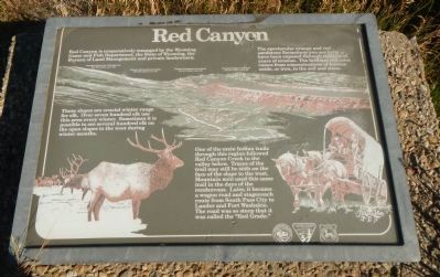
Red Canyon
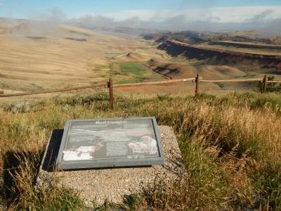
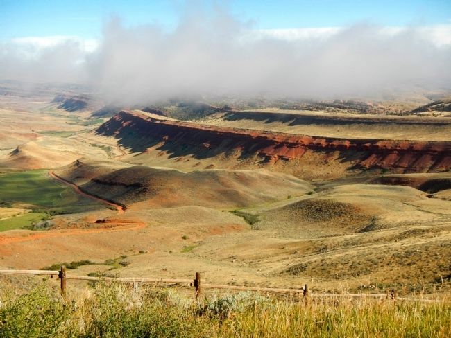
The spectacular orange and red sandstone formations you see here have been exposed through millions of years of erosion. The brilliant red color comes from concentrations of ferrous oxide, or iron, in the soil and stone.
These slopes are crucial winter range for elk. Over seven hundred elk use this area every winter. Sometimes it is possible to see several hundred elk on the open slopes to the west during winter months.
One of the main Indian trails through this region followed Red Canyon Creek in the valley below. Traces of the trail may still be seen on the face of the slope to the west. Mountain men used this same trail in the days of the rendezvous. Later, it became a wagon road and stagecoach route from South Pass City to Lander and Fort Washakie. The road was so steep that it was called the “Red Grade.”
Erected by Bureau of Land Management.
Topics. This historical marker is listed in these topic lists: Environment • Roads & Vehicles.
Location. 42° 35.685′ N, 108° 38.052′ W. Marker is near Lander, Wyoming, in Fremont County. Marker is at the intersection of Dickinson Avenue (State Highway 28) and Red Canyon Road, on the right when traveling west on Dickinson Avenue. Touch for map. Marker is at or near this postal address: 6532 Dickinson Avenue, Lander WY 82520, United States of America. Touch for directions.
Other nearby markers. At least 8 other markers are within 8 miles of this marker, measured as the crow flies. Red Canyon Wildlife Habitat Management Area (approx. 1.2 miles away); Miner’s Delight (approx. 4.9 miles away); Local Colour (approx. 4.9 miles away); Fort Stambaugh, 1870-1878 (approx. 6˝ miles away); Miners Delight: The Boom’s Broken Promises (approx. 6.7 miles away); Gold Flakes to Yellowcake Historic Mine Trail (approx. 8 miles away); The Atlantic City Project (approx. 8 miles away); Rock Creek (approx. 8 miles away). Touch for a list and map of all markers in Lander.
More about this marker. This marker is located at the Red Canyon overlook approximately 24 miles south of Lander.
Credits. This page was last revised on September 18, 2020. It was originally submitted on January 5, 2015, by Barry Swackhamer of Brentwood, California. This page has been viewed 519 times since then and 34 times this year. Photos: 1, 2, 3. submitted on January 5, 2015, by Barry Swackhamer of Brentwood, California. • Andrew Ruppenstein was the editor who published this page.


