Front Royal in Warren County, Virginia — The American South (Mid-Atlantic)
Richardson’s Hill
Kenly Makes His Stand
— Battle of Front Royal, May 23, 1862 —
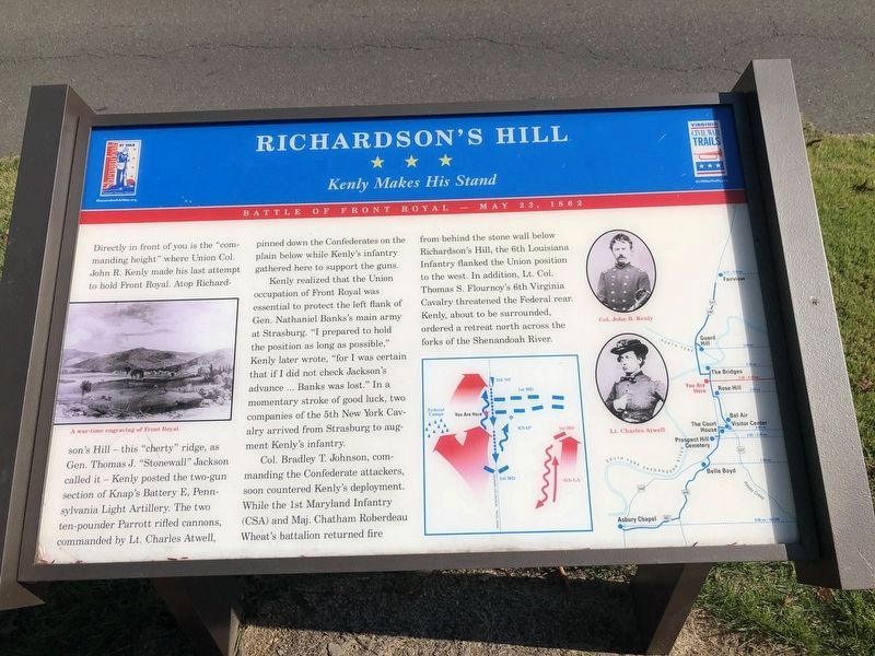
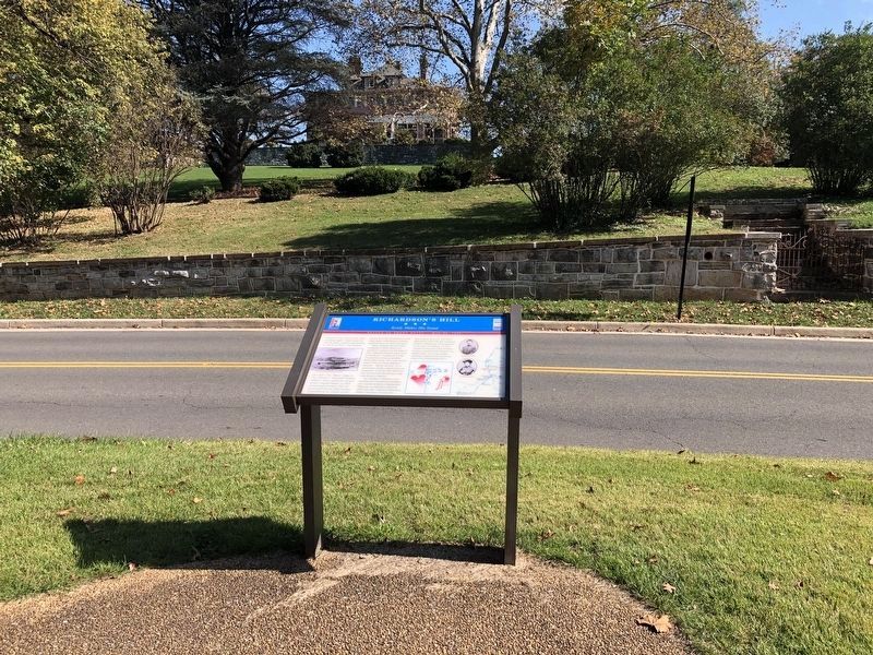
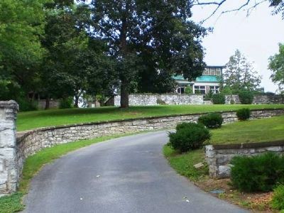
Directly in front of you is the “commanding height” where Union Col. John H. Kenly made his last attempt to hold Front Royal. Atop Richardson’s Hill—this “cherty” ridge, as Gen. Thomas J. “Stonewall” Jackson called it—Kenly posted the two-gun section of Knap s Battery E, Pennsylvania Light Artillery. The two ten-pounder Parrott rifled cannons, commanded by Lt. Charles Atwell, pinned down the Confederates on the plain below while Kenly’s infantry gathered here to support the guns.
Kenly realized that the Union occupation of Front Royal was essential to protect the left flank of Gen. Nathaniel Banks’s main army at Strasburg. “I prepared to hold the position as long as possible,” Kenly later wrote, “for I was certain that if I did not check Jackson’s advance ... Banks was lost.” In a momentary stroke of good luck, two companies of the 5th New York Cavalry arrived from Strasburg to augment Kenly’s infantry.
Col. Bradley T. Johnson, comanding the Confederate attackers, soon countered Kenly’s deployment. While the 1st Maryland infantry (CSA) and Maj. Chatham Roberdeau Wheat’s battalion returned fire from behind the stone wall below Richardson’s Hill, the 6th Louisiana Infantry flanked the Union position to the west. In addition, Lt. Col. Thomas S. Flournoy's 6th Virginia Cavalry threatened the Federal rear. Kenly, about to be surrounded, ordered a retreat north across the forks of the Shenandoah River.
Erected by Civil War Trails.
Topics and series. This historical marker is listed in this topic list: War, US Civil. In addition, it is included in the Virginia Civil War Trails series list.
Location. 38° 56.198′ N, 78° 11.679′ W. Marker is in Front Royal, Virginia, in Warren County. Marker is on North Royal Avenue north of West 14th Street (U.S. 340), on the left when traveling north. Three routes converge on North Royal Avenue on their way out of town: U.S. 340 north, Virginia 55 west, and U.S. 522 north. The three routes turn left onto West 14th Street, and North Royal Avenue continues straight ahead as a narrow residential street. The marker is just north of the intersection of Royal and 15th Street. Touch for map. Marker is in this post office area: Front Royal VA 22630, United States of America. Touch for directions.
Other nearby markers. At least 5 other markers are within walking distance of this marker. The Bridges (approx. 0.4 miles away); Rose Hill (approx. 0.4 miles away); Guard Hill (approx. 0.9 miles away); Brother Against Brother (approx. one mile away); Battle of Front Royal (approx. one mile away). Touch for a list and map of all markers in Front Royal.
Regarding Richardson’s Hill.
This marker is one of several from a driving tour of the Front Royal Battlefield. The markers are listed in sequence on the Battle of Front Royal Virtual Tour by Markers link below.
Related markers. Click here for a list of markers that are related to this marker. Battle of Front Royal Driving Tour by HMDb markers
Also see . . . Battle of Front Royal, May 23, 1862. National Park Service website entry (Submitted on August 12, 2022, by Larry Gertner of New York, New York.)
Credits. This page was last revised on August 12, 2022. It was originally submitted on January 6, 2007, by J. J. Prats of Powell, Ohio. This page has been viewed 2,298 times since then and 45 times this year. Photos: 1. submitted on October 24, 2020, by Devry Becker Jones of Washington, District of Columbia. 2. submitted on January 6, 2007, by J. J. Prats of Powell, Ohio. 3. submitted on October 25, 2020, by Devry Becker Jones of Washington, District of Columbia. 4. submitted on August 14, 2008, by Linda Walcroft of Woodstock, Virginia.


