Great Falls in Cascade County, Montana — The American West (Mountains)
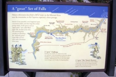
A "great" Set of Falls
A “great” Challenge
Standing atop a knoll, now called Smelter Hill, just upstream, Lewis determined the south shore offered the shortest, most level portage with the fewest ravine crossings. Following Clark’s survey, the Corps pulled canoes and gear over 18 miles of unforgiving plains.
A “great” But Tamed, Resource
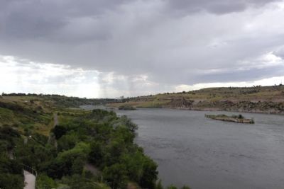
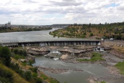
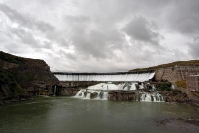
The 360 foot drop in this section of river offered a ready power source for the young community of Great Falls. Five dams now lasso the river and regulate its water levels and current.
Topics and series. This historical marker is listed in these topic lists: Exploration • Waterways & Vessels. In addition, it is included in the Lewis & Clark Expedition series list.
Location. 47° 31.799′ N, 111° 14.127′ W. Marker is in Great Falls, Montana, in Cascade County. Marker can be reached from Giant Springs Road, 0.9 miles north of River Drive North. Marker is located at the overlook of the Lewis & Clark National Historic Trail Interpretive Center; the above directions are to the parking lot of the Interpretive Center. Touch for map. Marker is at or near this postal address: 4201 Giant Springs Road, Great Falls MT 59405, United States of America. Touch for directions.
Other nearby markers. At least 8 other markers are within walking distance of this marker. Seaman: Companion to the Corps (within shouting distance of this marker); The Army's Navy (within shouting distance of this marker); The Experiment (about 300 feet away, measured in a direct line); Mobile Villages (about 500 feet away); One of Many Firsts (approx. 0.2 miles away); Of Special Concern (approx. 0.2 miles away); Giant Fountain (approx. 0.4 miles away); Pure Springs Along the Missouri River (approx. 0.4 miles away). Touch for a list and map of all markers in Great Falls.
Credits. This page was last revised on June 16, 2016. It was originally submitted on January 16, 2015, by Duane Hall of Abilene, Texas. This page has been viewed 575 times since then and 18 times this year. Photos: 1, 2, 3, 4. submitted on January 16, 2015, by Duane Hall of Abilene, Texas.


