Waynesboro in Wayne County, Mississippi — The American South (East South Central)
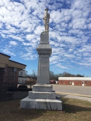
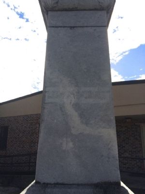
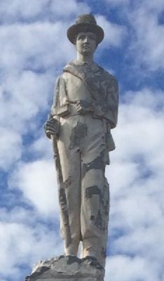
Wayne County Civil War Monument
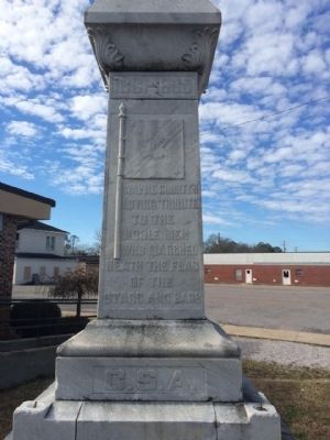
1861-1865
— C.S.A. —
Front
loving tribute
to the
noble men
who marched
neath the flag
of the
Stars and Bars
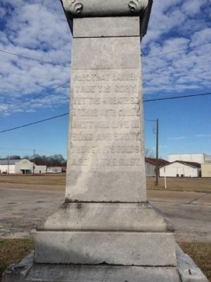
Left Side
true' tis gory,
yet' tis wreathed
around with glory,
and' twill live in
song and story,
though its folds
are in the dust.
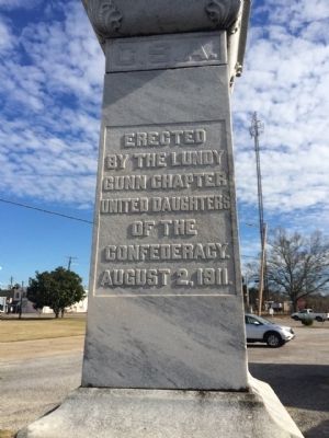
Rear
by the Lundy
Gunn Chapter
United Daughters
of the
Confederacy.
August 2, 1911.
Right
Erected 1911 by the Lundy Gunn Chapter United Daughters of the Confederacy.
Topics and series. This monument and memorial is listed in this topic list: War, US Civil. In addition, it is included in the United Daughters of the Confederacy series list.
Location. 31° 40.484′ N, 88° 38.843′ W. Marker is in Waynesboro, Mississippi, in Wayne County. Memorial is at the intersection of Chickasawhay Street and Azalea Drive (Mississippi Highway 184), on the right when traveling south on Chickasawhay Street. Located on the east side of the Justice Court building. Touch for map. Marker is at or near this postal address: Chickasawhay Street, Waynesboro MS 39367, United States of America. Touch for directions.
Other nearby markers. At least 8 other markers are within 5 miles of this marker, measured as the crow flies. Wayne County War Memorial (about 400 feet away, measured in a direct line); First Auto Bank (about 600 feet away); Lt. Jake W. Lindsey Highway (about 700 feet away); First United Methodist Church (approx. 0.2 miles away); First Baptist Church (approx. 0.3 miles away); Philadelphus Church (approx. 0.4 miles away); Clinch Gray (approx. 4˝ miles away); Gray Family Cemetery (approx. 4.6 miles away). Touch for a list and map of all markers in Waynesboro.
More about this monument. Monument used to be located in front of the Waynesboro High School before the school was torn down.
Credits. This page was last revised on June 16, 2016. It was originally submitted on January 18, 2015, by Mark Hilton of Montgomery, Alabama. This page has been viewed 705 times since then and 41 times this year. Photos: 1, 2, 3, 4, 5, 6, 7. submitted on January 18, 2015, by Mark Hilton of Montgomery, Alabama.
