Bucyrus in Crawford County, Ohio — The American Midwest (Great Lakes)
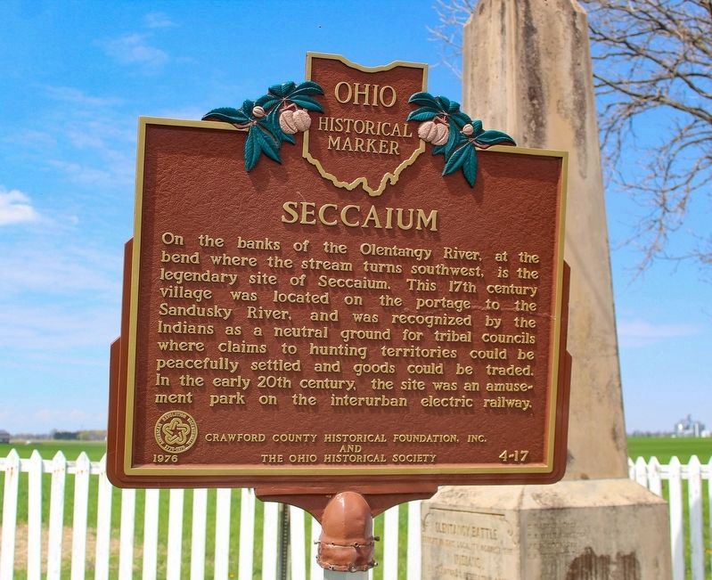
Seccaium
On the banks on the Olentangy River, at the bend where the stream turns southwest, is the legendary site of Seccaium. This 17th century village was located on the portage to the Sandusky River, and was recognized by Indians as a neutral ground for tribal councils where claims to hunting territories could be peacefully settled and goods could be traded. In the early 20th century, the site was an amusement park on the interurban electric railway.
Erected 1976 by Crawford County Historical Foundation, Inc., The Ohio Historical Society. (Marker Number 4-17.)
Topics and series. This historical marker is listed in this topic list: Native Americans. In addition, it is included in the Ohio Historical Society / The Ohio History Connection series list.
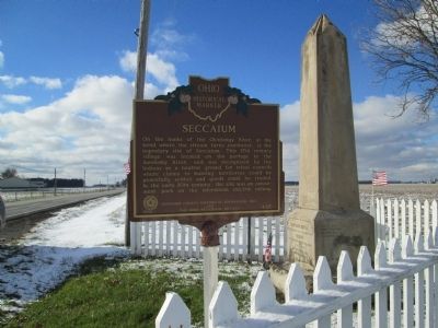
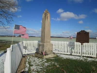
Location. 40° 46.228′ N, 82° 53.797′ W. Marker is in Bucyrus, Ohio, in Crawford County. Marker is on Ohio Route 19, on the right when traveling west. Marker is on north side St Rt 19 0.3 mile east of Parcher Rd. (43) Marker is now located at the same site as the Olentangy Battle Monument. I believe it was originally set at “Seccaium Park”, about ¼ mile east, on the south side of the road. Touch for map. Marker is at or near this postal address: 1749-1817 (approx 1775) Ohio Rt 19, Bucyrus OH 44820, United States of America. Touch for directions.
Other nearby markers. At least 8 other markers are within 5 miles of this marker, measured as the crow flies. Olentangy Battle (here, next to this marker); John Edward Hopley (approx. 4.2 miles away); The Underground Railroad in Crawford County (approx. 4.7 miles away); McGraw House (approx. 4.8 miles away); Linn Block (approx. 4.8 miles away); Perennial Cafe (approx. 4.8 miles away); Crawford County's Veterans Hall Of Fame (approx. 4.9 miles away); Crawford County (approx. 4.9 miles away). Touch for a list and map of all markers in Bucyrus.
Credits. This page was last revised on May 26, 2023. It was originally submitted on January 21, 2015, by Rev. Ronald Irick of West Liberty, Ohio. This page has been viewed 1,557 times since then and 72 times this year. Last updated on January 22, 2015, by J. Makali Bruton of Accra, Ghana. Photos: 1. submitted on May 13, 2023, by Alex Krempasky of Obetz, Ohio. 2, 3, 4. submitted on January 21, 2015, by Rev. Ronald Irick of West Liberty, Ohio. • Al Wolf was the editor who published this page.


