Laurel in Prince George's County, Maryland — The American Northeast (Mid-Atlantic)
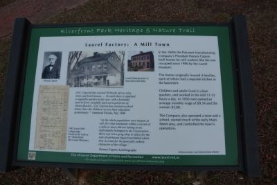
Laurel Factory: A Mill Town
Riverfront Park Heritage & Nature Trauil
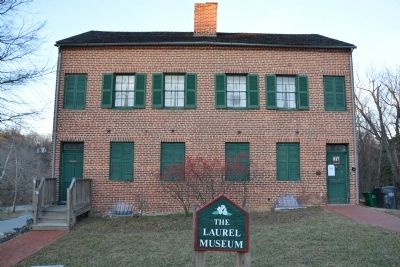
In the 1840s the Patuxent Manufacturing Company's President Horace Capron built homes for mill workers like the one occupied since 1996 by the Laurel Museum.
The homes originally housed 4 families, each of whom had a separate kitchen in the basement.
Children and adults lived in close quarters, and worked in the mill 11-12 hours a day. In 1850 men earned an average monthly wage of $9.54 and the women $5.00
The Company also operated a store and a school, owned much of the early Main Street area, and controlled the town's operations.
Erected by City of Laurel Department of Parks and Recrecation.
Topics. This historical marker is listed in this topic list: Industry & Commerce. A significant historical year for this entry is 1996.
Location. 39° 6.581′ N, 76° 51.437′ W. Marker is in Laurel, Maryland, in Prince George's County. Marker is on Main Street near 9th Street, on the right when traveling west. Touch for map. Marker is at or near this postal address: 817 Main St,, Laurel MD 20707, United States of America. Touch for directions.
Other nearby markers. At least 8 other markers are within walking distance of this marker. Laurel Factory: Prince Georges County's Only Mill Town (a few steps from this marker); Laurel Cotton Mill and Dam (a few steps from this marker); Desegregation of Laurel Pool (a few steps from this marker); Casula Point (about 300 feet away, measured in a direct line); Laurel: A Factory Town Bridging Two Counties (about 300 feet away); Laurel Harnessed the River to Power the Cotton Mill (about 400 feet away); Early Buildings on St. Mary's Place (about 500 feet away); Methodism in Laurel (about 500 feet away). Touch for a list and map of all markers in Laurel.
Also see . . . History of Laurel. Laurel Historical Society website entry (Submitted on January 26, 2015, by A. Taylor of Laurel, Maryland.)

Photographed By Devry Becker Jones (CC0), January 1, 2019
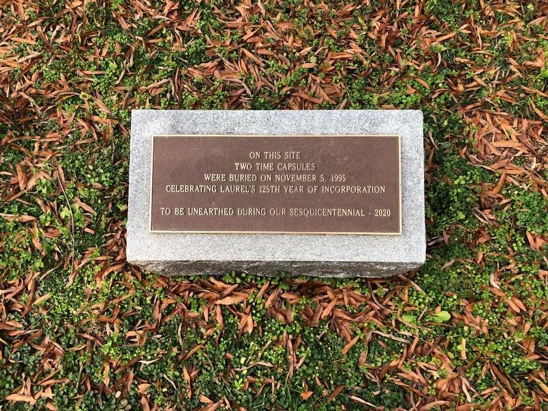
3. Plaque commemorating two time capsules nearby
Credits. This page was last revised on March 14, 2022. It was originally submitted on January 25, 2015, by A. Taylor of Laurel, Maryland. This page has been viewed 430 times since then and 40 times this year. Last updated on January 1, 2019, by Devry Becker Jones of Washington, District of Columbia. Photos: 1. submitted on January 25, 2015, by A. Taylor of Laurel, Maryland. 2. submitted on January 26, 2015, by A. Taylor of Laurel, Maryland. 3. submitted on January 1, 2019, by Devry Becker Jones of Washington, District of Columbia. • Andrew Ruppenstein was the editor who published this page.

