Terrebonne in Deschutes County, Oregon — The American West (Northwest)
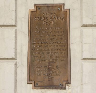
Peter Skene Ogden Park
Topics. This historical marker is listed in these topic lists: Exploration • Industry & Commerce. A significant historical year for this entry is 1794.
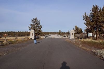
Location. 44° 23.526′ N, 121° 11.594′ W. Marker is in Terrebonne, Oregon, in Deschutes County. Marker can be reached from Blue Star Memorial/Dalles to California Highway (U.S. 97 at milepost 113), 1.2 miles north of Wimp Way, on the left when traveling north. The park has a designated turnout that must be carefully looked for since the High Bridge was bypassed in 2000. Touch for map. Marker is in this post office area: Terrebonne OR 97760, United States of America. Touch for directions.
Other nearby markers. At least 7 other markers are within 14 miles of this marker, measured as the crow flies. A Bridge for the New Millenium (a few steps from this marker); Oregon Scenic Highways (a few steps from this marker); Colonel Rex T. Barber Memorial (a few steps from this marker); The Crooked River (High) Bridge (within shouting distance of this marker); Peter Skene Ogden (about 600 feet away, measured in a direct line); The Oregon Trunk Railroad Bridge (about 700 feet away); Metolius Depot (approx. 13˝ miles away).
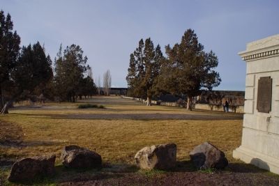
More about this marker. Marker is located on the east buttress of the High Bridge over the Crooked River. There are many signs in the park noting pets have accidentally made the 300 foot fall to the river. It is recommended pets be kept away from the precipice.
Related marker. Click here for another marker that is related to this marker. To better understand the relationship, study each marker in the order shown.
Also see . . . Peter Skene Ogden State Scenic Viewpoint. (Submitted on January 26, 2015, by Chris English of Phoenix, Arizona.)
Additional keywords. Peter Skene Ogden,Skene,Hudson's Bay Company,Crooked River,gorge
Credits. This page was last revised on June 16, 2016. It was originally submitted on January 26, 2015, by Chris English of Phoenix, Arizona. This page has been viewed 445 times since then and 17 times this year. Photos: 1, 2, 3. submitted on January 26, 2015, by Chris English of Phoenix, Arizona. • Syd Whittle was the editor who published this page.


