Buffalo Township near Claysville in Washington County, Pennsylvania — The American Northeast (Mid-Atlantic)
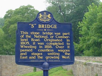
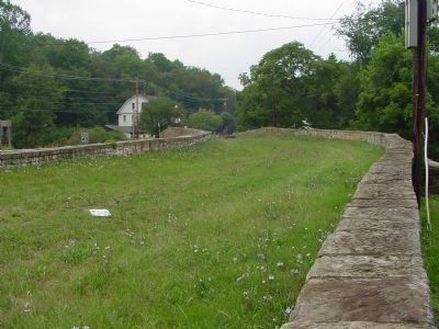
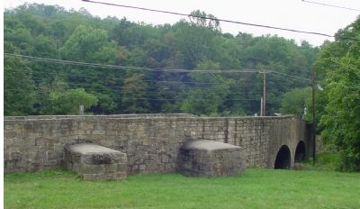
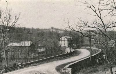
“S” Bridge
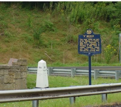
This stone bridge was part of the National, or Cumberland Road. Originated in 1805, it was completed to Wheeling in 1818. Over it passed countless wagons and stages uniting the East and the growing West.
Erected 1947 by the Pennsylvania Historical and Museum Commission.
Topics and series. This historical marker is listed in these topic lists: Bridges & Viaducts • Roads & Vehicles • Settlements & Settlers. In addition, it is included in the Pennsylvania Historical and Museum Commission, and the The Historic National Road series lists. A significant historical year for this entry is 1805.
Location. 40° 8.379′ N, 80° 20.925′ W. Marker is near Claysville, Pennsylvania, in Washington County. It is in Buffalo Township. Marker is at the intersection of U.S. 40 and S Bridge Road and Green Valley Road (Pennsylvania Route 221) on U.S. 40. The Zip code changes to 15301 (Washington) across Route 221 from the bridge. Touch for map. Marker is at or near this postal address: 3878 US-40, Claysville PA 15323, United States of America. Touch for directions.
Other nearby markers. At least 5 other markers are within 2 miles of this marker, measured as the crow flies. Revolutionary War Soldiers (approx. 0.4 miles away); William Holmes McGuffey (approx. 0.6 miles away); a different marker also named Revolutionary War Soldiers (approx. 1.1 miles away); Washington (approx. 1.3 miles away); National Road (approx. 1.3 miles away).
More about this marker. There is a little park with a picnic table on the Route 221 side of the bridge.
Also see . . .
1. "S" Bridge - Behind the Marker. Explore PA History website entry (Submitted on July 13, 2011, by Mike Wintermantel of Pittsburgh, Pennsylvania.)
2. S Bridge. Wikipedia entry (Submitted on July 11, 2022, by Larry Gertner of New York, New York.)
3. National Road Heritage Corridor. Website homepage (Submitted on January 11, 2007, by J. J. Prats of Powell, Ohio.)
Credits. This page was last revised on February 7, 2023. It was originally submitted on January 11, 2007, by J. J. Prats of Powell, Ohio. This page has been viewed 2,191 times since then and 31 times this year. Photos: 1, 2, 3, 4. submitted on January 11, 2007, by J. J. Prats of Powell, Ohio. 5. submitted on February 27, 2008, by Christopher Busta-Peck of Shaker Heights, Ohio.
