Queenstown in Queen Anne's County, Maryland — The American Northeast (Mid-Atlantic)
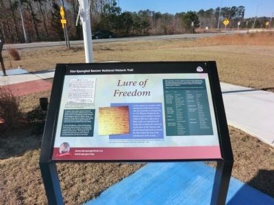
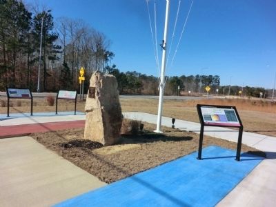
Lure of Freedom
Star-Spangled Banner National Historic Trail
— War of 1812 —
In April of 1814, British Admiral Cochrane issued a proclamation offering slaves or free blacks service in His Majesty’s armed forces or free passage to settle in a British colony. In August of 1813 Admiral Cockburn had already implemented this when approximately 42 slaves left with the British from Kent Island.
In early 1814 Nathan, a slave of Kent Island land owner Robert Gardner, was imprisoned in Centreville on the suspicion of guiding the British to Queenstown. On February 3, he escaped from jail and was never found, it was presumed he had fled to the British.
“At the request of a member of the inhabitants of this island, I was sent out yesterday to this place by Lt. Col. Thomas Wright for the purpose of proceeding on board Admiral Warren’s ship with a Flag; under an expectation of being able to obtain the release of a great part of the Negroes who left the Island and went on board the Fleet about the time of the inhabitation of the troops,…”
Letter from Major William H. Nicholson to General Winder, recounting his attempt to get back slaves who had escaped to a British ship. September 1, 1813.
[Captions:]
Nathan escaped from jail along with a former slave, Daniel Johns. The town sheriff advertised in the Republican Star for their apprehension. After the War of 1812 residents of Kent Island petitioned the Federal Government for recompense claiming that the enslaved individuals listed below escaped to the British, gaining their freedom.
Source: National Archives with assistance from the Maryland State Archives.
Erected by National Park Service, U.S. Department of the Interior.
Topics and series. This historical marker is listed in these topic lists: African Americans • War of 1812. In addition, it is included in the Star Spangled Banner National Historic Trail series list. A significant historical year for this entry is 1814.
Location. 38° 57.918′ N, 76° 10.914′ W. Marker is in Queenstown, Maryland, in Queen Anne's County. Marker is on Main Street. Touch for map. Marker is in this post office area: Queenstown MD 21658, United States of America. Touch for directions.
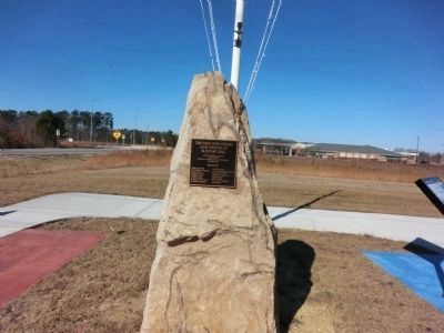
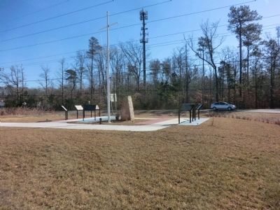
Other nearby markers. At least 8 other markers are within 2 miles of this marker, measured as the crow flies. The Men Who Stood and Fought at Slippery Hill (a few steps from this marker); British Command (within shouting distance of this marker); The Battle Enjoined! (within shouting distance of this marker); Protecting the Homefront (within shouting distance of this marker); Battle of Slippery Hill (approx. 0.4 miles away); Road to Battle (approx. half a mile away); Governor William Grason (approx. 1.1 miles away); US M60 "Patton" Tank (approx. 1.3 miles away). Touch for a list and map of all markers in Queenstown.
Credits. This page was last revised on April 16, 2024. It was originally submitted on February 7, 2015, by Don Morfe of Baltimore, Maryland. This page has been viewed 552 times since then and 14 times this year. Photos: 1, 2, 3, 4. submitted on February 7, 2015, by Don Morfe of Baltimore, Maryland. • Bill Pfingsten was the editor who published this page.


