Hardyston in Sussex County, New Jersey — The American Northeast (Mid-Atlantic)
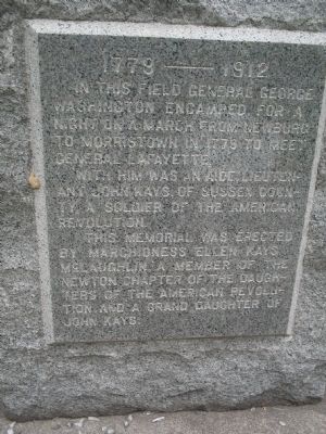
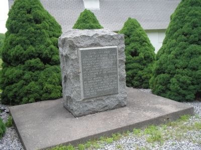
George Washington Encampment
1779 – 1912
With him was an aide, Lieutenant John Kays of Sussex County, a soldier of the American Revolution.
This memorial was erected by Marchioness Ellen Kays McLaughlin, a member of the Newton Chapter of the Daughters of the American Revolution and a Grand Daughter of John Kays.
Erected 1912 by Daughters of the American Revolution, Newton Chapter.
Topics and series. This historical marker is listed in these topic lists: Military • Notable Places • War, US Revolutionary. In addition, it is included in the Daughters of the American Revolution, and the Former U.S. Presidents: #01 George Washington series lists. A significant historical year for this entry is 1779.
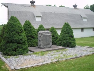
Location. 41° 9.088′ N, 74° 35.584′ W. Marker is in Hardyston, New Jersey, in Sussex County. Marker is at the intersection of Route 94 and Beaver Run Road (County Route 661), on the left when traveling north on Route 94. Touch for map. Marker is in this post office area: Hamburg NJ 07419, United States of America. Touch for directions.
Other nearby markers. At least 8 other markers are within 6 miles of this marker, measured as the crow flies. Joseph Sharp's Iron Works (approx. 0.9 miles away); Dr. Samuel Fowler (approx. 2 miles away); Franklin School (approx. 2.4 miles away); Franklin Furnace (approx. 2.8 miles away); Sussex Borough, New Jersey (approx. 4.1 miles away); The Sterling Mine (approx. 4.6 miles away); Old Schoolhouse and Firehouse Museum (approx. 4.9 miles away); Sand Hill Road and Route 94 (approx. 5.2 miles away).
Credits. This page was last revised on June 16, 2016. It was originally submitted on June 1, 2008, by Bill Coughlin of Woodland Park, New Jersey. This page has been viewed 1,934 times since then and 48 times this year. Photos: 1, 2, 3. submitted on June 1, 2008, by Bill Coughlin of Woodland Park, New Jersey.


