Scott Spring
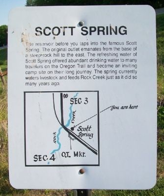
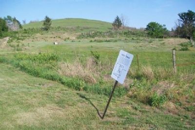
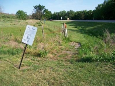
The reservoir before you taps into the famous Scott Spring. The original outlet emanates from the base of a steep rock hill to the east. The refreshing water of Scott Spring offered abundant drinking water to many travelers on the Oregon Trail and became an inviting camp site on their long journey. The spring currently waters livestock and feeds Rock Creek just as it did so many years ago.
Topics and series. This historical marker is listed in these topic lists: Environment • Roads & Vehicles • Waterways & Vessels. In addition, it is included in the California Trail, and the Oregon Trail series lists.
Location. 39° 22.946′ N, 96° 24.344′ W. Marker is near Westmoreland, Kansas, in Pottawatomie County. Marker is on The Road to Oz Highway (State Highway 99), on the left when traveling south. Marker is in Oregon Trail Park. Touch for map. Marker is in this post office area: Westmoreland KS 66549, United States of America. Touch for directions.
Other nearby markers. At least 8 other markers are within walking distance of this marker. Tallgrass Prairie (within shouting distance of this marker); The Long Journey (about 300 feet away, measured in a direct line); One Step at a Time (about 300 feet away); The Wagon & Team • Supplies Needed (about 300 feet away); Route of the Oregon Trail
Also see . . .
1. Oregon National Historic Trail. (Submitted on February 20, 2015, by William Fischer, Jr. of Scranton, Pennsylvania.)
2. California National Historic Trail. (Submitted on February 20, 2015, by William Fischer, Jr. of Scranton, Pennsylvania.)
3. Oregon-California Trails Association. (Submitted on February 20, 2015, by William Fischer, Jr. of Scranton, Pennsylvania.)
Credits. This page was last revised on June 16, 2016. It was originally submitted on February 20, 2015, by William Fischer, Jr. of Scranton, Pennsylvania. This page has been viewed 653 times since then and 45 times this year. Photos: 1, 2, 3. submitted on February 20, 2015, by William Fischer, Jr. of Scranton, Pennsylvania. 4. submitted on February 19, 2015, by William Fischer, Jr. of Scranton, Pennsylvania.


