Harvey in Jefferson Parish, Louisiana — The American South (West South Central)
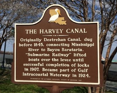
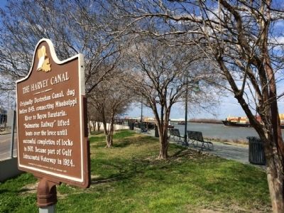
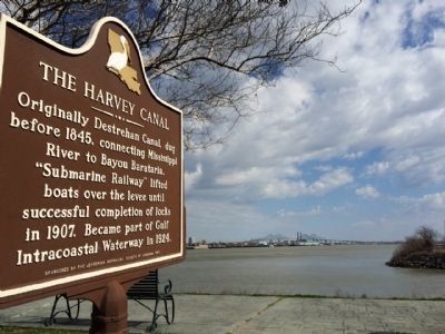
The Harvey Canal
Erected 1981 by the Jefferson Historical Society of Louisiana.
Topics. This historical marker is listed in this topic list: Waterways & Vessels. A significant historical year for this entry is 1845.
Location. 29° 54.647′ N, 90° 5.115′ W. Marker is in Harvey, Louisiana, in Jefferson Parish. Marker is at the intersection of River Road (State Highway 541) and Destrehan Avenue, on the right when traveling west on River Road. Touch for map. Marker is at or near this postal address: 3540 River Road, Harvey LA 70058, United States of America. Touch for directions.
Other nearby markers. At least 8 other markers are within 2 miles of this marker, measured as the crow flies. Harvey Castle Site (approx. ¼ mile away); Dubreuil Canal (approx. 0.7 miles away); Saint Henry Church (approx. 1.1 miles away); Salem United Church of Christ (approx. 1.1 miles away); a different marker also named Salem United Church of Christ (approx. 1.1 miles away); Derbigny Plantation (approx. 1.1 miles away); Newcomb House (approx. 1.2 miles away); McDonogh No. 7 Elementary School (approx. 1.2 miles away). Touch for a list and map of all markers in Harvey.
Credits. This page was last revised on June 16, 2016. It was originally submitted on February 22, 2015, by Mark Hilton of Montgomery, Alabama. This page has been viewed 1,029 times since then and 171 times this year. Photos: 1, 2, 3, 4. submitted on February 22, 2015, by Mark Hilton of Montgomery, Alabama.


