Near Dickerson in Montgomery County, Maryland — The American Northeast (Mid-Atlantic)
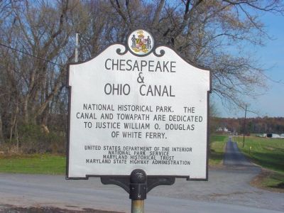
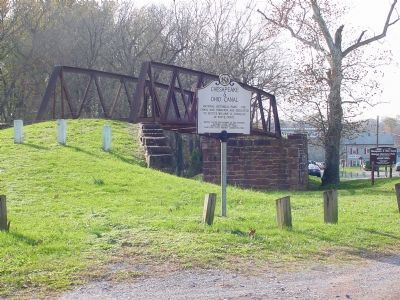
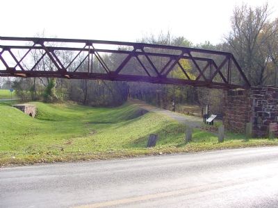
Chesapeake & Ohio Canal
Erected by the United States Department of the Interior, National Park Service; the Maryland Historical Trust, Maryland State Highway Administration.
Topics and series. This historical marker is listed in these topic lists: Parks & Recreational Areas • Waterways & Vessels. In addition, it is included in the Chesapeake and Ohio (C&O) Canal series list.
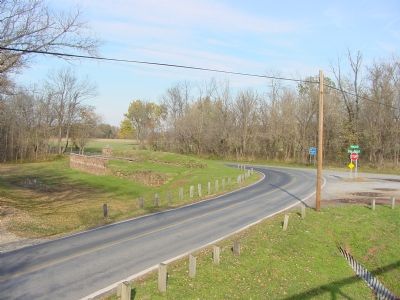
Location. 39° 9.291′ N, 77° 31.016′ W. Marker is near Dickerson, Maryland, in Montgomery County. Marker is at the intersection of Whites Ferry Road (Maryland Route 107) and River Road, on the left when traveling west on Whites Ferry Road. Marker is at White’s Ferry. Touch for map. Marker is at or near this postal address: 24554 Whites Ferry Road, Dickerson MD 20842, United States of America. Touch for directions.
Other nearby markers. At least 5 other markers are within walking distance of this marker. White’s Ferry (within shouting distance of this marker); Gettysburg Campaign (about 400 feet away, measured in a direct line); a different marker also named White’s Ferry (about 400 feet away); 1862 Antietam Campaign (about 400 feet away); The History of White's Ferry (about 600 feet away). Touch for a list and map of all markers in Dickerson.
Additional commentary.
1. White’s Ferry Fares
Fare for automobiles is $3 one way or $5 round trip. Pedestrians and bicyclists 50¢ each. Ferry operates year-round (except when the river floods or freezes solid), but the restaurant, gift and convenience shop is only open during the six summer months.
2017 Toll Ferry - Cash Only Cars One Way: $5.00 Cars Roundtrip: $8.00 Motorcycles: $3.00 Bicycle: $2.00 Pedestrian: $1.00 Trucks: Varies
— Submitted January 13, 2007, by J. J. Prats of Powell, Ohio.
Photographed By J. J. Prats, November 4, 2006
4. Ruins of Canal Granary at White's Ferry
White owned a number of warehouses along the canal. This was for shipment transfers by road to and from Virginia via White's Ferry. River Road begins at this intersection and continues all the way to Tenleytown in Washington, D.C.
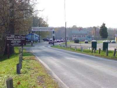
Photographed By J. J. Prats, November 4, 2006
5. White's Ferry Terminal, Maryland
Cars line up for the ferry to Virginia. White's Ferry is privately owned and operated. Photographer is standing on White's Ferry Road, on the culvert over the C&O Canal. The old bridge over the canal is out of frame to the left. The gray building with the red shutters has a convenience store and restaurant on the ground level. Tree-shaded tables in a large picnic grove overlooking the river are available for a small fee.
Credits. This page was last revised on November 22, 2019. It was originally submitted on January 13, 2007, by J. J. Prats of Powell, Ohio. This page has been viewed 2,733 times since then and 20 times this year. Photos: 1, 2, 3, 4. submitted on January 13, 2007, by J. J. Prats of Powell, Ohio. 5. submitted on December 7, 2006, by J. J. Prats of Powell, Ohio.
