Marker Logo HMdb.org THE HISTORICAL
MARKER DATABASE
“Bite-Size Bits of Local, National, and Global History”
Gulfport in Harrison County, Mississippi — The American South (East South Central)
 

St. Mark's Episcopal Church


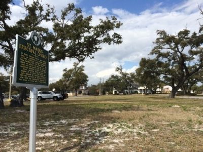
St. Mark's Episcopal Church Marker image. Click for full size.
Photographed By Mark Hilton, February 22, 2015
1. St. Mark's Episcopal Church Marker
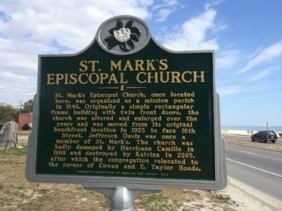
Inscription. St. Mark's Episcopal Church, once located here, was organized as a mission parish in 1846. Originally a simple rectangular frame building with twin front doors. The church was altered and enlarged over the years and was moved from its original beachfront location in 1925 to face 16th Street. Jefferson Davis was once a member of St. Mark's. The church was badly damaged by Hurricane Camille in 1969 and destroyed by Katrina in 2005, after which the congregation relocated to the corner of Cowan and E. Taylor Roads.
 
Erected 2013 by the Mississippi Department of Archives and History.
 
Topics and series. This historical marker is listed in these topic lists: Churches & ReligionDisasters. In addition, it is included in the Mississippi State Historical Marker Program series list. A significant historical year for this entry is 1846.
 
Location. 30° 22.784′ N, 89° 2.403′ W. Marker is in Gulfport, Mississippi, in Harrison County. Marker is at the intersection of East Beach Boulevard (U.S. 90) and Church Avenue, on the right when traveling west on East Beach Boulevard. Touch for map. Marker is at or near this postal address: East Beach Boulevard, Gulfport MS 39501, United States of America. Touch for directions.
 
Other nearby markers. At least 8 other markers are within 2 miles of this marker, measured as the crow flies. Memorialization of Jefferson Davis (approx. ¼ mile away); Mississippi City Courthouse
Paid Advertisement
Click on the ad for more information.
Please report objectionable advertising to the Editor.
Click or scan to see
this page online
(approx. ¼ mile away); Mississippi City Colored School (approx. 0.7 miles away); Centennial Plaza (approx. ¾ mile away); Mississippi City Cemetery (approx. one mile away); Riley Chapel UMC (approx. 1.2 miles away); Handsboro (approx. 1.4 miles away); Gulf Coast Military Academy (approx. 1.4 miles away). Touch for a list and map of all markers in Gulfport.
 
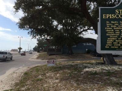
Former location of St. Mark's Episcopal Church image. Click for full size.
Photographed By Mark Hilton, February 22, 2015
2. Former location of St. Mark's Episcopal Church
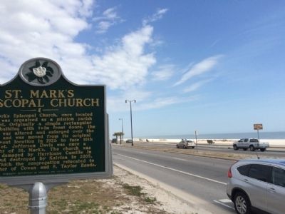
View west along Highway 90 from marker image. Click for full size.
Photographed By Mark Hilton, February 22, 2015
3. View west along Highway 90 from marker
View east of Highway 90 and the Gulf of Mexico. image. Click for full size.
Photographed By Mark Hilton, February 22, 2015
4. View east of Highway 90 and the Gulf of Mexico.
 
 
Credits. This page was last revised on August 6, 2018. It was originally submitted on February 23, 2015, by Mark Hilton of Montgomery, Alabama. This page has been viewed 410 times since then and 24 times this year. Photos:   1, 2, 3, 4. submitted on February 23, 2015, by Mark Hilton of Montgomery, Alabama.
Share this page.  
Share on Tumblr
m=81009

CeraNet Cloud Computing sponsors the Historical Marker Database.
This website earns income from purchases you make after using our links to Amazon.com. We appreciate your support.
Paid Advertisement
Apr. 24, 2024