Avondale in Jefferson Parish, Louisiana — The American South (West South Central)
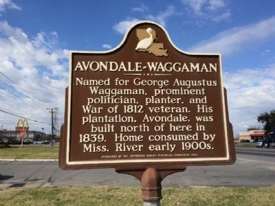
Avondale~Waggaman
Erected 2006 by the Jefferson Parish Historical Commission.
Topics. This historical marker is listed in these topic lists: Disasters • Government & Politics • Settlements & Settlers • War of 1812. A significant historical year for this entry is 1812.
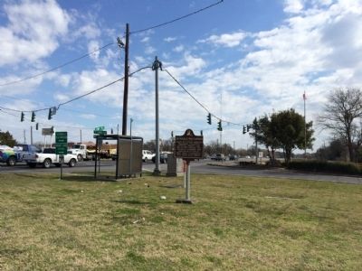
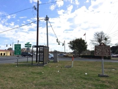
Location. 29° 54.586′ N, 90° 12.199′ W. Marker is in Avondale, Louisiana, in Jefferson Parish. Marker is at the intersection of U.S. 90 and South Jamie Boulevard, on the right when traveling east on U.S. 90. Touch for map. Marker is at or near this postal address: 2901 Highway 90, Westwego LA 70094, United States of America. Touch for directions.
Other nearby markers. At least 8 other markers are within 4 miles of this marker, measured as the crow flies. Parish of Jefferson (approx. 1˝ miles away); Pops Park (approx. 1.6 miles away); Pops Stroman Memorial Park (approx. 1.6 miles away); Tchoupitoulas Plantation (approx. 1.8 miles away); City Of Harahan (approx. 2.1 miles away); Wedell - Williams Airport Site (approx. 3 miles away); Westwego (approx. 3.1 miles away); Huey P. Long Bridge, Louisiana (approx. 3.2 miles away).
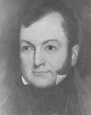
Also see . . . Wikipedia article on George A. Waggaman. (Submitted on February 24, 2015, by Mark Hilton of Montgomery, Alabama.)
Credits. This page was last revised on December 14, 2020. It was originally submitted on February 24, 2015, by Mark Hilton of Montgomery, Alabama. This page has been viewed 1,015 times since then and 91 times this year. Photos: 1, 2, 3, 4. submitted on February 24, 2015, by Mark Hilton of Montgomery, Alabama.


