Paulina in St. James Parish, Louisiana — The American South (West South Central)
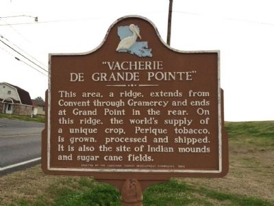
"Vacherie de Grande Pointe"
Erected 1965 by the Louisiana Tourist Development Commission.
Topics. This historical marker is listed in these topic lists: Industry & Commerce • Native Americans • Natural Features.
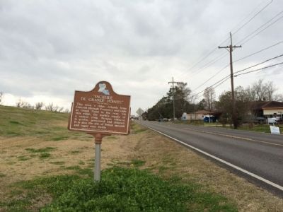
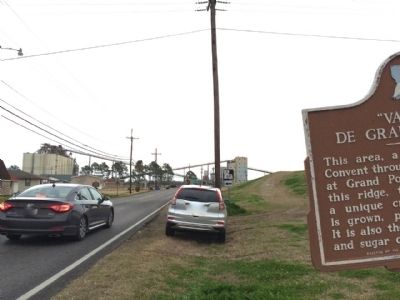
Location. 30° 1.24′ N, 90° 44.495′ W. Marker is in Paulina, Louisiana, in St. James Parish. Marker is at the intersection of State Highway 44 and State Highway 642, on the left when traveling west on State Highway 44. Touch for map. Marker is at or near this postal address: 3105 LA-642, Paulina LA 70763, United States of America. Touch for directions.
Other nearby markers. At least 8 other markers are within 4 miles of this marker, measured as the crow flies. Bourgeois Homeplace / Site Familial des Bourgeois (within shouting distance of this marker); Colonel Leopold L. Armant (approx. 1.1 miles away); "Le Petit Versailles" (approx. 1.3 miles away); Vacherie (approx. 1.3 miles away); James Mather (approx. 1˝ miles away); Oak Alley Plantation (approx. 2.3 miles away); Lutcher United Methodist Church (approx. 3 miles away); Lutcher (approx. 3.1 miles away).
Credits. This page was last revised on June 16, 2016. It was originally submitted on February 26, 2015, by Mark Hilton of Montgomery, Alabama. This page has been viewed 769 times since then and 48 times this year. Photos: 1, 2, 3. submitted on February 26, 2015, by Mark Hilton of Montgomery, Alabama.


