Marrero in Jefferson Parish, Louisiana — The American South (West South Central)
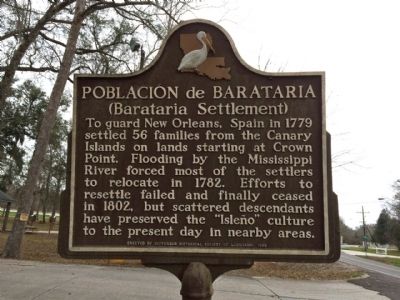
Poblacion de Barataria
(Barataria Settlement)
Erected 1988 by the Jefferson Historical Society of Louisiana.
Topics. This historical marker is listed in these topic lists: Colonial Era • Disasters • Settlements & Settlers. A significant historical year for this entry is 1779.
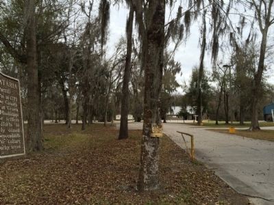
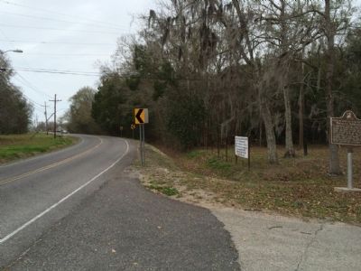
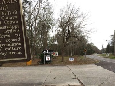
Location. 29° 48.482′ N, 90° 6.774′ W. Marker is in Marrero, Louisiana, in Jefferson Parish. Marker is on Barataria Boulevard, 0.1 miles north of Merlin Lane, on the right when traveling north. Touch for map. Marker is at or near this postal address: 5505 Barataria Boulevard, Marrero LA 70072, United States of America. Touch for directions.
Other nearby markers. At least 8 other markers are within 7 miles of this marker, measured as the crow flies. Sinking Land, Rising Water (approx. 1.7 miles away); Barataria Preserve (approx. 2.2 miles away); Town of Jean Lafitte (approx. 3.4 miles away); Manila Village (approx. 5.1 miles away); Clark Cheniere (approx. 5.1 miles away); Woodlawn High School and the Struggle for Racial Equality (approx. 6½ miles away); Mary Plantation (approx. 6.8 miles away); Westwego (approx. 6.9 miles away). Touch for a list and map of all markers in Marrero.
Also see . . . Wikipedia article on Canary Islanders of Louisiana. (Submitted on February 26, 2015, by Mark Hilton of Montgomery, Alabama.)
Credits. This page was last revised on June 16, 2016. It was originally submitted on February 26, 2015, by Mark Hilton of Montgomery, Alabama. This page has been viewed 437 times since then and 15 times this year. Photos: 1, 2, 3, 4. submitted on February 26, 2015, by Mark Hilton of Montgomery, Alabama.


