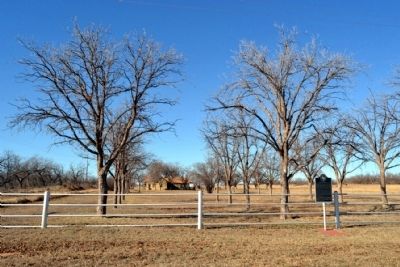
Near Sylvester in Fisher County, Texas — The American South (West South Central)
Adair - Steadman Site
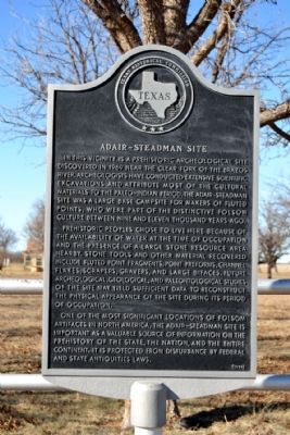
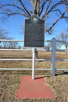
Prehistoric peoples chose to live here because of the availability of water at the time of occupation and the presence of a large stone resource area nearby. Stone tools and other material recovered include fluted point fragments, point preforms, channel flakes, scrapers, gravers, and large bifaces. Future archeological, geological, and paleontological studies of the site may yield sufficient data to reconstruct the physical appearance of the site during its period of occupation.
One of the most significant locations of Folsom artifacts in North America, the Adair-Steadman site is important as a valuable source of information on the prehistory of the state, the nation, and the entire continent. It is protected from disturbance by Federal and State antiquities laws.
Erected 1984 by Texas Historical Commission. (Marker Number 82.)
Topics. This historical marker is listed in these topic lists: Anthropology & Archaeology • Exploration • Paleontology. A significant historical year for this entry is 1969.
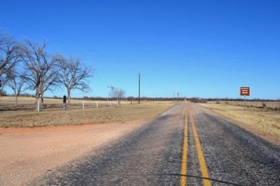
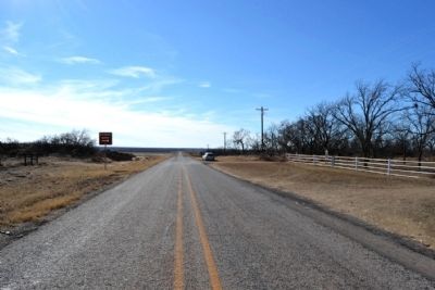
Location. 32° 40.974′ N, 100° 8.921′ W. Marker is near Sylvester, Texas, in Fisher County. Marker is at the intersection of Farm to Market Road 1812 and Ranch Road, on the right when traveling west on Road 1812. Touch for map. Marker is in this post office area: Sylvester TX 79560, United States of America. Touch for directions.
Other nearby markers. At least 7 other markers are within 14 miles of this marker, measured as the crow flies. Newman Community and Cemetery (approx. 6 miles away); Woods Chapel Cemetery (approx. 6 miles away); Boyd Chapel Community (approx. 6.4 miles away); Neinda Baptist Church (approx. 8.7 miles away); Neinda Community (approx. 8.9 miles away); Compere Cemetery (approx. 12.2 miles away); Hamlin (approx. 13.9 miles away).
More about this marker. The closest proximity of the Clear Fork of the Brazos River is one mile southwest of the marker location.
Credits. This page was last revised on June 16, 2016. It was originally submitted on February 27, 2015, by Duane Hall of Abilene, Texas. This page has been viewed 711 times since then and 43 times this year. Photos: 1, 2, 3, 4, 5. submitted on February 27, 2015, by Duane Hall of Abilene, Texas.
