Near Carlin in Eureka County, Nevada — The American Mountains (Southwest)
Argenta Station
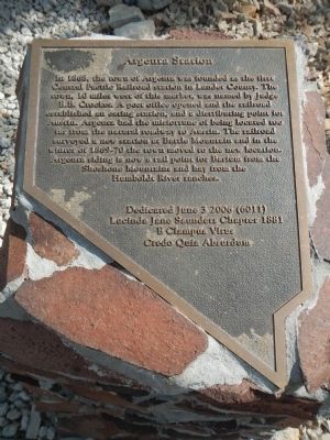
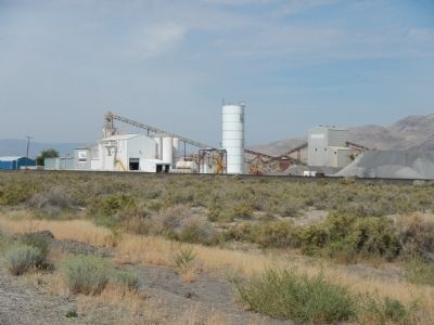
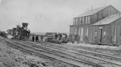
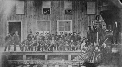
In 1868, the town of Argenta was founded as the first Central Pacific Railroad station in Lander County. The town, 10 miles west of this marker, was named by Judge E.B. Crocker. A post office opened and the railroad established an eating station, and a distributing point for Austin. Argenta has the misfortune of being located too far from the natural roadway to Austin. The railroad surveyed a new station at Battle Mountain and in the winter of 1869-7- the town moved to the new location, Argenta siding is now a rail point for Barium from the Shoshone Mountains and hay from the Humboldt River ranches.
Erected 2006 by E Clampus Vitus, Lucinda Jane Saunders Chapter #1881.
Topics and series. This historical marker is listed in these topic lists: Railroads & Streetcars • Settlements & Settlers. In addition, it is included in the E Clampus Vitus series list. A significant historical year for this entry is 1868.
Location. 40° 40.776′ N, 116° 28.383′ W. Marker is near Carlin, Nevada, in Eureka County. Marker can be reached from Interstate 80, on the right when traveling west. Touch for map. Marker is in this post office area: Carlin NV 89822, United States of America. Touch for directions.
Other nearby markers. At least 7 other markers are within 5 miles of this marker, measured as the crow flies. Hot, Dusty and Tattered (within shouting distance of this marker); The Cattle Industry (about 300 feet away, measured in a direct line); Gravely Ford (approx. 0.3 miles away); A Tale of Two Highways (approx. 0.4 miles away); About Your Journey ... (approx. 0.4 miles away); Beowawe Geysers (approx. 0.4 miles away); California Trail - 1841 Route (approx. 5.1 miles away).
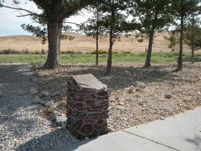
More about this marker. This marker is located at the north-side Beowawe Rest Area on Interstate 80 between exits 261 and 271.
Credits. This page was last revised on June 16, 2016. It was originally submitted on March 2, 2015, by Barry Swackhamer of Brentwood, California. This page has been viewed 451 times since then and 15 times this year. Photos: 1, 2, 3, 4, 5. submitted on March 2, 2015, by Barry Swackhamer of Brentwood, California. • Syd Whittle was the editor who published this page.
