Near Burnt Corn in Conecuh County, Alabama — The American South (East South Central)
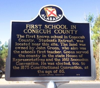
First School in Conecuh County
Erected 2012 by the Alabama Historical Association.
Topics and series. This historical marker is listed in these topic lists: Education • Government & Politics • Settlements & Settlers. In addition, it is included in the Alabama Historical Association series list. A significant historical year for this entry is 1861.
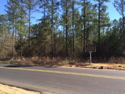
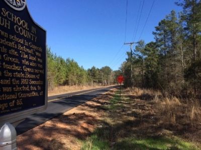
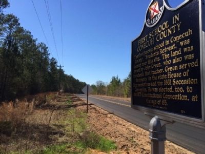
Location. 31° 32.611′ N, 87° 8.688′ W. Marker is near Burnt Corn, Alabama, in Conecuh County. Marker is on County Road 15, one mile south of County Road 5, on the right when traveling south. Touch for map. Marker is at or near this postal address: Conecuh County 15, Evergreen AL 36401, United States of America. Touch for directions.
Other nearby markers. At least 8 other markers are within 3 miles of this marker, measured as the crow flies. John Green Cemetery (approx. 0.4 miles away); Dr. John Watkins (approx. one mile away); Old Federal Road (approx. one mile away); Burnt Corn Male Academy (approx. one mile away); Dr. Watkins House (approx. 2 miles away); Burnt Corn Spring (approx. 2.3 miles away); James Salter (approx. 2.6 miles away); Puryearville (approx. 2.8 miles away). Touch for a list and map of all markers in Burnt Corn.
Also see . . . BCR Listening Post-Observation Post blog on school marker. (Submitted on March 8, 2015, by Mark Hilton of Montgomery, Alabama.)
Credits. This page was last revised on June 16, 2016. It was originally submitted on March 8, 2015, by Mark Hilton of Montgomery, Alabama. This page has been viewed 999 times since then and 45 times this year. Photos: 1, 2, 3, 4. submitted on March 8, 2015, by Mark Hilton of Montgomery, Alabama.


