Parsons in Decatur County, Tennessee — The American South (East South Central)
The "Pea Vine" A Ghost Railroad / Parsons A Railroad Town
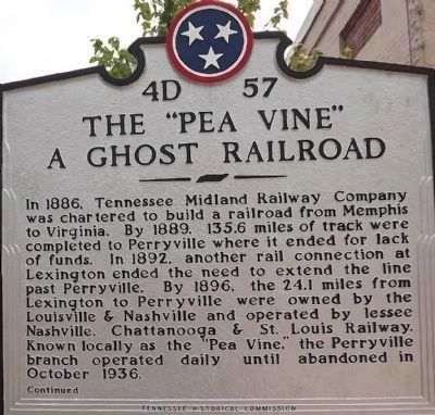
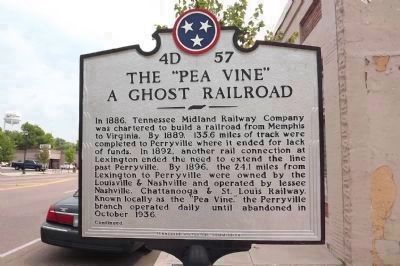
The "Pea Vine" A Ghost Railroad
In 1886, Tennessee Midland Railway Company was chartered to build a railroad from Memphis to Virginia. By 1889, 135.6 miles of track were completed to Perryville where it ended for lack of funds. In 1892, another rail connection at Lexington ended the need to extend the line past Perryville. By 1896, the 24.1 miles from Lexington to Perryville were owned by the Louisville & Nashville and operated by lessee Nashville, Chattanooga & St. Louis Railway. Known locally as the “Pea Vine,” the Perryville branch operated daily until abandoned in October 1936.
Continued
Reverse:
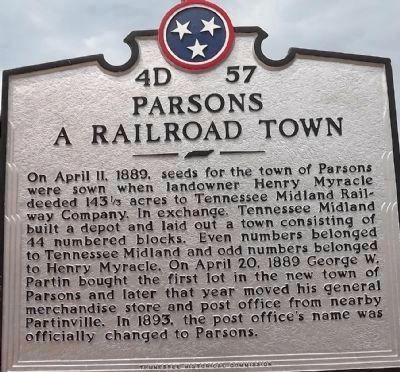
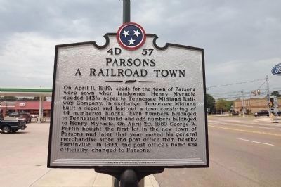
Parsons A Railroad Town
On April 11, 1889, seeds for the town of Parsons were sown when landowner Henry Myracle deeded 143 acres to Tennessee Midland Railway Company. In exchange, Tennessee Midland built a depot and laid out a town consisting of 44 numbered blocks. Even numbers belonged to Tennessee Midland and odd numbers belonged to Henry Myracle. On April 20, 1889 George W. Partin bought the first lot in the new town of Parsons and later that year moved his general merchandise store and post office from nearby Partinville. In 1893, the post office's name was officially changed to Parsons.
Erected by Tennessee Historical Commission. (Marker Number 4D 57.)
Topics and series. This historical marker is listed in these topic lists: Railroads & Streetcars • Settlements & Settlers. In addition, it is included in the Tennessee Historical Commission series list. A significant historical month for this entry is April 1862.
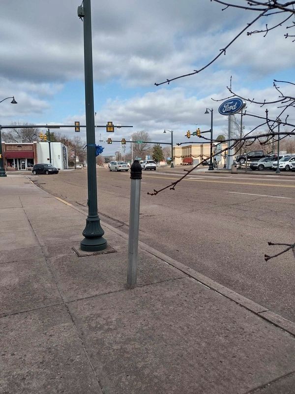
Location. Marker has been reported missing. It was located near 35° 38.958′ N, 88° 7.615′ W. Marker was in Parsons, Tennessee, in Decatur County. Marker was at the intersection of South Tennessee Avenue (Tennessee Route 69) and West Main Street (U.S. 412), on the right when traveling south on South Tennessee Avenue. Touch for map. Marker was in this post office area: Parsons TN 38363, United States of America. Touch for directions.
Other nearby markers. At least 8 other markers are within 5 miles of this location, measured as the crow flies. Little David Wilkins (approx. half a mile away); Divided Loyalties (approx. half a mile away); Revolutionary War Veterans Monument (approx. 4˝ miles away); Confederate Veterans Memorial (approx. 4˝ miles away); Decatur County Veterans Monument (approx. 4˝ miles away); Brownsport Furnace (approx. 4˝ miles away); Site of Decatur County School Gymnasium (approx. 4.6 miles away); Decatur County Training School Crowder High School 1925-1965 (approx. 4.8 miles away). Touch for a list and map of all markers in Parsons.
Credits. This page was last revised on December 12, 2023. It was originally submitted on February 13, 2012, by Ken Smith of Milan, Tennessee. This page has been viewed 1,674 times since then and 78 times this year. Last updated on December 10, 2023, by David Austin of Scotts Hill, Tennessee. Photos: 1, 2, 3, 4. submitted on February 13, 2012, by Ken Smith of Milan, Tennessee. 5. submitted on December 10, 2023, by David Austin of Scotts Hill, Tennessee. • James Hulse was the editor who published this page.
