Near Jacksonville in Cherokee County, Texas — The American South (West South Central)
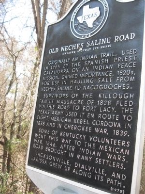
Old Neches Saline Road
(Crosses Highway 175 Here)
Survivors of the Killough family massacre of 1838 fled via the road to Fort Lacy. The Texas Army used it en route to fight Mexican rebel Cordova in 1838 and in Cherokee War, 1839.
Some of Kentucky volunteers went this way to the Mexican War, 1846. After Indian wars, road brought in many settlers.
Jacksonville, Dialville, and Larissa grew up along its path.
Erected 1970 by State Historical Survey Committee. (Marker Number 6636.)
Topics. This historical marker is listed in these topic lists: Roads & Vehicles • Settlements & Settlers • War, Mexican-American • War, Texas Independence. A significant historical year for this entry is 1765.
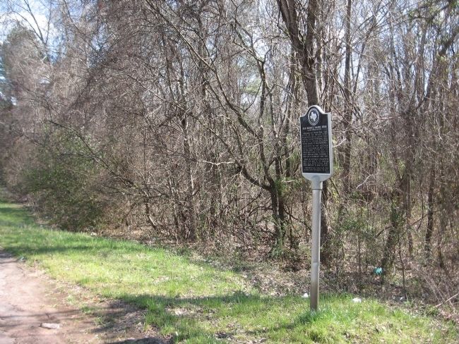
Location. 31° 59.413′ N, 95° 18.886′ W. Marker is near Jacksonville, Texas, in Cherokee County. Marker is on U.S. 175 near County Route 3405, on the left when traveling west. 2 miles NW of Jacksonville. Touch for map. Marker is in this post office area: Jacksonville TX 75766, United States of America. Touch for directions.
Other nearby markers. At least 8 other markers are within 4 miles of this marker, measured as the crow flies. Thomas Jefferson Dean (approx. 1.8 miles away); Jackson Smith (approx. 1.9 miles away); David Greene Templeton (approx. 1.9 miles away); Judge H.T. Brown (approx. 2.1 miles away); Newburn-Rawlinson House (approx. 2.6 miles away); Jacksonville College (approx. 2.6 miles away); Sweet Union Baptist Church (approx. 2.9 miles away); Sea Scouts Ship 400 (approx. 3.1 miles away). Touch for a list and map of all markers in Jacksonville.
Credits. This page was last revised on June 16, 2016. It was originally submitted on March 3, 2010, by Steve Gustafson of Lufkin, Texas. This page has been viewed 2,219 times since then and 109 times this year. Last updated on March 19, 2015, by J. Makali Bruton of Accra, Ghana. Photos: 1, 2. submitted on March 3, 2010, by Steve Gustafson of Lufkin, Texas. • Bernard Fisher was the editor who published this page.

