Cambridge in Guernsey County, Ohio — The American Midwest (Great Lakes)
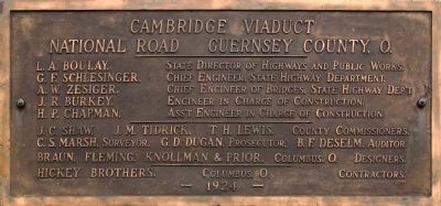
Old Covered Bridge
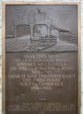
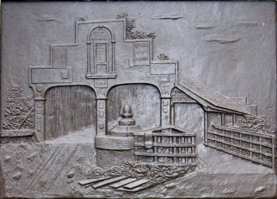
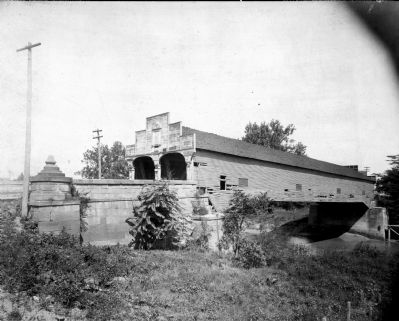
The Old Covered Bridge
Spanned Wills Creek
On the Old National Road
1828 – 1913
Near It Was the Ferry Cabin
The First House
Built in Cambridge
1798 – 1800
This Marker is Erected
By Anna Asbury Stone Chapter
Daughters of the American Revolution
1926
Erected 1926 by The Anna Asbury Stone Chapter Daughters of the American Revolution.
Topics and series. This historical marker is listed in these topic lists: Man-Made Features • Roads & Vehicles. In addition, it is included in the Covered Bridges, and the Daughters of the American Revolution series lists. A significant historical year for this entry is 1828.
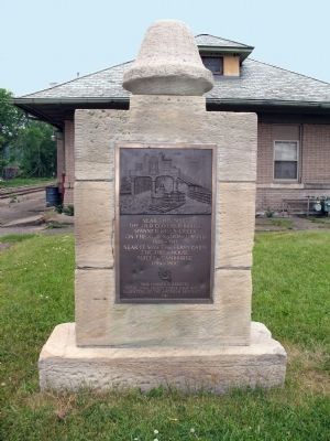
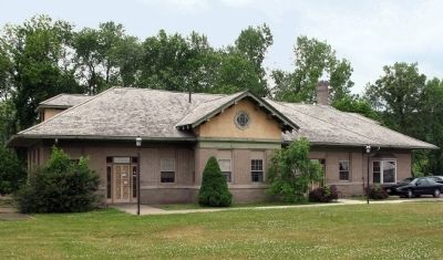
Location. 40° 1.477′ N, 81° 35.777′ W. Marker is in Cambridge, Ohio, in Guernsey County. At the Cambridge Union Depot. Touch for map. Marker is at or near this postal address: 400 Wheeling Ave, Cambridge OH 43725, United States of America. Touch for directions.
Other nearby markers. At least 8 other markers are within walking distance of this marker. The Tingle Tavern (approx. 0.2 miles away); Cambridge (approx. 0.2 miles away); The First Methodist Church (approx. ¼ mile away); a different marker also named Cambridge (approx. 0.3 miles away); Robert T. Secrest (approx. 0.3 miles away); Guernsey Civil War Memorial (approx. 0.3 miles away); Representatives in the United States Congress who Were Residents of Guernsey County (approx. 0.3 miles away); Purple Heart Memorial (approx. 0.3 miles away). Touch for a list and map of all markers in Cambridge.
Credits. This page was last revised on June 16, 2016. It was originally submitted on March 22, 2015, by Allen C. Browne of Silver Spring, Maryland. This page has been viewed 507 times since then and 37 times this year. Photos: 1, 2, 3, 4, 5, 6. submitted on March 22, 2015, by Allen C. Browne of Silver Spring, Maryland. • Al Wolf was the editor who published this page.
