Tyler in Lowndes County, Alabama — The American South (East South Central)
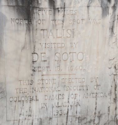
Talisi visited by De Soto
Sept. 18, 1540
Talisi
visited by
De Soto
Sept. 18, 1540
———
This stone erected by
The National Society of
Colonial Dames of America
In Alabama
1936
Erected 1936 by the National Society of Colonial Dames of America In Alabama.
Topics and series. This historical marker is listed in these topic lists: Exploration • Settlements & Settlers. In addition, it is included in the The Colonial Dames of America, National Society of series list. A significant historical month for this entry is September 1902.
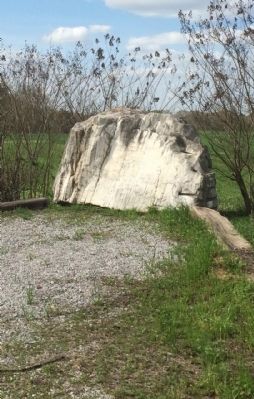
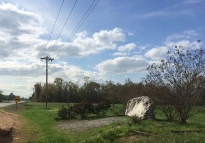
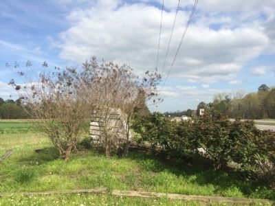
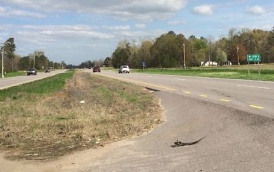
Location. 32° 18.976′ N, 86° 53.057′ W. Marker is in Tyler, Alabama, in Lowndes County. Marker is at the intersection of U.S. 80 and County Road 7, on the right when traveling west on U.S. 80. Located diagonally across U.S. Highway 80 from the Tyler Volunteer Fire Department. Touch for map. Marker is at or near this postal address: 10660 US Highway 80 East, Tyler AL 36785, United States of America. Touch for directions.
Other nearby markers. At least 8 other markers are within 10 miles of this marker, measured as the crow flies. Campsite 1 (approx. 3.9 miles away); Joe T. Pilcher, Jr. (approx. 6.6 miles away); Craig Air Force Base (approx. 6.6 miles away); Mount Gillard Baptist Church (approx. 8˝ miles away); It Started in Selma (approx. 9.7 miles away); After the March—Tent City (approx. 9.7 miles away); You Gotta Move (approx. 9.7 miles away); Day Two (approx. 9.7 miles away).
Credits. This page was last revised on June 16, 2016. It was originally submitted on March 25, 2015, by Mark Hilton of Montgomery, Alabama. This page has been viewed 742 times since then and 56 times this year. Photos: 1, 2, 3, 4, 5, 6. submitted on March 25, 2015, by Mark Hilton of Montgomery, Alabama.
