Newport Beach in Orange County, California — The American West (Pacific Coastal)
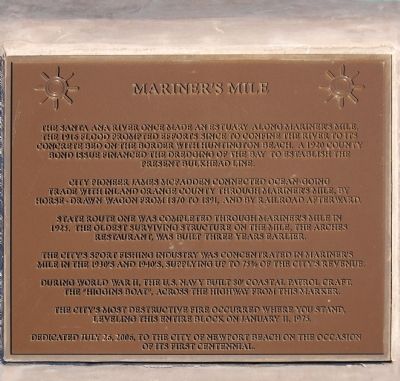
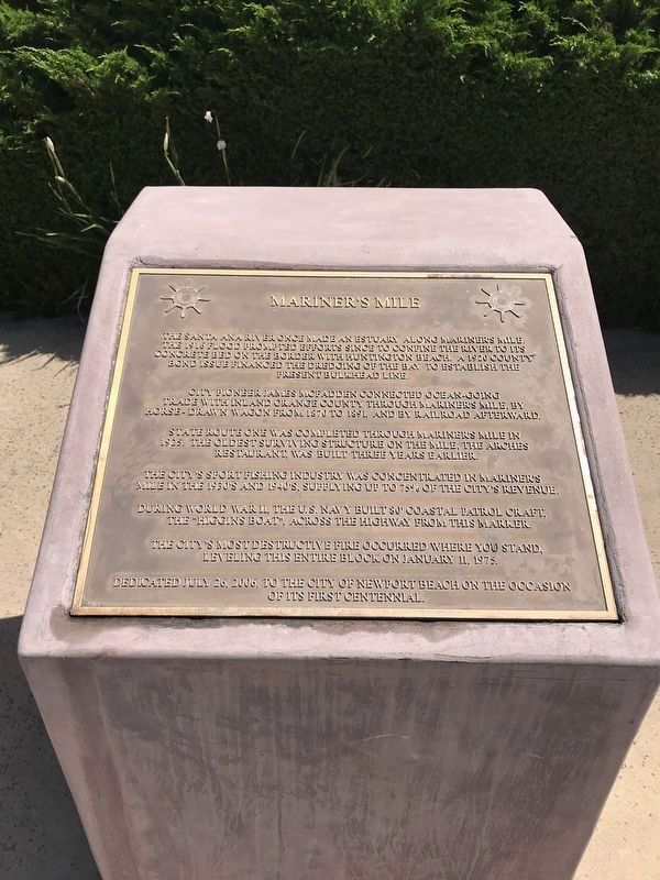
Mariner's Mile
City pioneer James McFadden connected ocean-going trade with inland Orange County through Mariner's Mile, by horse-drawn wagon from 1870 to 1891, and by railroad afterward.
State Route One was completed through Mariner's Mile in 1923. The oldest surviving structure on the Mile, the Arches Restaurant, was built three years earlier.
The city's sport-fishing industry was concentrated in Mariner's Mile in the 1930's and 1940's, supplying up to 73% to the city's revenue.
During World War II, the U.S. Navy built 30' coastal patrol craft, the "Higgins boat", across the highway from this marker.
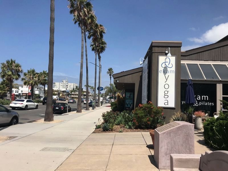
The city's most destructive fire occurred where you stand, leveling this entire block on January 11, 1973.
Dedicated July 26, 2006, to the city of Newport Beach on the occasion of its first Centennial.
Erected 2006.
Topics. This historical marker is listed in these topic lists: Disasters • Industry & Commerce • Settlements & Settlers • War, World II. A significant historical date for this entry is January 11, 1973.
Location. 33° 37.207′ N, 117° 55.397′ W. Marker is in Newport Beach, California, in Orange County. Marker is on Pacific Coast Highway, 0.3 miles north of Tustin Avenue, on the right when traveling north. Touch for map. Marker is at or near this postal address: 2700 Pacific Coast Highway, Newport Beach CA 92663, United States of America. Touch for directions.
Other nearby markers. At least 8 other markers are within 2 miles of this marker, measured as the crow flies. McFadden Square Centennial (approx. 0.9 miles away); McFadden (Newport) Wharf (approx. 0.9 miles away); Old Landing (approx. one mile away); Castaways Park (approx. one mile away); 1st Battalion, 1st Marines, 1st Marine Division Memorial (approx. one mile away); Ozment General Store & Post Office 1908(c) (approx. 1.4 miles away); F.M. Bloom Shoe Repairs 1923(c) (approx. 1.4 miles away); Davis Barbershop & Soda Fountain 1921(c) (approx. 1.4 miles away). Touch for a list and map of all markers in Newport Beach.
Credits. This page was last revised on August 30, 2022. It was originally submitted on March 25, 2015, by Eric Polk of Lakewood, California. This page has been viewed 477 times since then and 24 times this year. Photos: 1. submitted on March 25, 2015, by Eric Polk of Lakewood, California. 2. submitted on August 24, 2022, by Adam Margolis of Mission Viejo, California. 3. submitted on March 25, 2015, by Eric Polk of Lakewood, California. 4. submitted on August 24, 2022, by Adam Margolis of Mission Viejo, California. • Syd Whittle was the editor who published this page.


