Newport Beach in Orange County, California — The American West (Pacific Coastal)
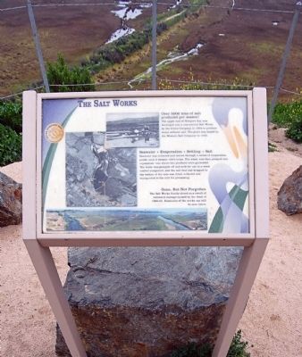
The Salt Works
Over 500 tons of salt produced per season!
The upper end of Newport Bay was developed into a commercial Salt Works by the Irvine Company in 1934 to produce water softener salt. The plant was leased by the Western Salt Company in 1950.
Seawater + Evaporation + Settling = Salt
Seawater was collected and moved through a series of evaporation ponds until it became 100% brine. The water was then pumped into the crystallizer vats where two products were generated. The water was pumped off and sold for use in a weed control compound, and the salt that had dropped to the bottoms of the vats was dried, collected and transported to the mill for processing.
Gone, but not forgotten
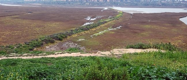
The Salt Works finally closed as a result of extensive damage caused by the flood of 1968-69. Remnants of the works can still be seen below.
Topics. This historical marker is listed in this topic list: Industry & Commerce. A significant historical year for this entry is 1934.
Location. Marker has been reported permanently removed. It was located near 33° 39.103′ N, 117° 53.339′ W. Marker was in Newport Beach, California, in Orange County. Marker could be reached from University Drive. Park at the Upper Newport Bay Interpretive Center lot and then hike south along the bluff trails to the marker. Touch for map. Marker was at or near this postal address: 2301 University Drive, Newport Beach CA 92660, United States of America.
We have been informed that this sign or monument is no longer there and will not be replaced. This page is an archival view of what was.
Other nearby markers. At least 8 other markers are within 2 miles of this location, measured as the crow flies. Upper Newport Bay (here, next to this marker); Santa Ana Army Air Base Site (approx. 1.4 miles away); Safeway Store 1929(c) (approx. 1.8 miles away); Middaugh Shoes 1929(c) (approx. 1.8 miles away); Mesa Cleaners 1926(c) (approx. 1.8 miles away); Pennant Bakery 1925(c) (approx. 1.8 miles away); Chapman Billiard Parlor 1928(c) (approx. 1.8 miles away); Braddy's Barber Shoppe 1921(c) (approx. 1.8 miles away).
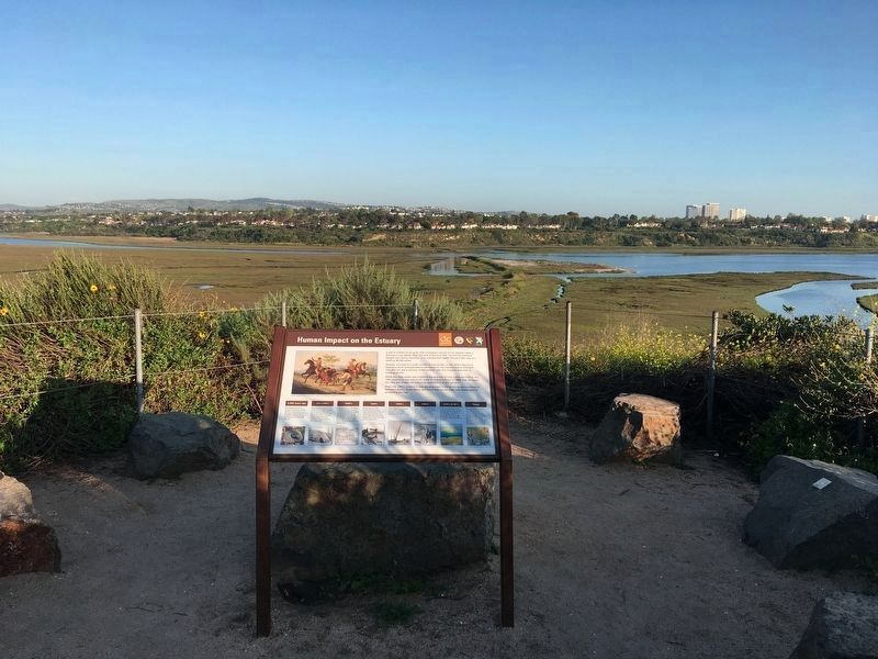
Regarding The Salt Works. This marker has been replaced with a new marker called Upper Newport Bay.
Credits. This page was last revised on February 2, 2022. It was originally submitted on March 25, 2015, by Eric Polk of Lakewood, California. This page has been viewed 983 times since then and 139 times this year. Last updated on April 21, 2020, by Craig Baker of Sylmar, California. Photos: 1. submitted on March 25, 2015, by Eric Polk of Lakewood, California. 2. submitted on April 21, 2020, by Craig Baker of Sylmar, California. 3. submitted on March 25, 2015, by Eric Polk of Lakewood, California. • Syd Whittle was the editor who published this page.


