Yosemite National Park in Mariposa County, California — The American West (Pacific Coastal)
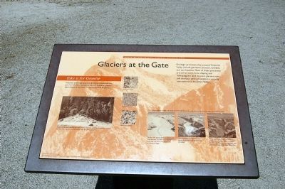
Glaciers at the Gate
Inscription.
Geologic processes that created Yosemite Valley include glaciation, erosion, rockfalls, and earthquakes. Most of these processes are still at work here, shaping and reshaping the land. Ancient glaciers have left dramatic geologic evidence virtually everywhere in Yosemite Valley.
Take it for Granite
Yosemite's awe-inspiring granite formation have made the park world famous. Samples of most of Yosemite's sixteen types of granite have been carried to this area by glaciers.
Several of Yosemite's granites are visible nearby where the road cuts through the "terminal moraine," the mass of debris left behind after the glacier retreated.
After millions of years of uplift and cutting by the Merced River, at the onset of the Ice Age Yosemite Valley was 3,000 feet deep.
One or more glaciers filled the Valley to its brim between 250,000 and 1,000,000 years ago. The Valley was gouged into a U-shaped trough. About 30,000 years ago, a thinner glacier advanced to today's "Gates of the Valley." When this glacier melted, its terminal moraine dammed the Valley, creating a shallow lake. This lake eventually filled with sediment, leaving today's level Valley floor.
Erected by Yosemite Fund.
Topics. This historical marker is listed in this topic list: Environment.
Location. 37° 43.218′ N, 119° 38.943′ W. Marker is in Yosemite National Park, California, in Mariposa County. Marker is on Southside Drive, 0.2 miles east of Wawona Road, on the left when traveling east. Touch for map. Marker is in this post office area: Yosemite National Park CA 95389, United States of America. Touch for directions.
Other nearby markers. At least 8 other markers are within 4 miles of this marker, measured as the crow flies. El Capitan (here, next to this marker); A Varied View (about 500 feet away, measured in a direct line); A View Through Time (about 500 feet away); Disappearing Waterfalls (approx. 0.3 miles away); President Theodore Roosevelt & John Muir Meeting Site (approx. 0.7 miles away); Rewards of Travel (approx. 1˝ miles away); The Ahwahneechee (approx. 3.4 miles away); The Journey to Yosemite (approx. 3˝ miles away). Touch for a list and map of all markers in Yosemite National Park.
More about this marker. Click on "Nearby Markers" to view photos of Yosemite Valley, the granite walls and waterfalls.
Credits. This page was last revised on June 16, 2016. It was originally submitted on March 26, 2015, by Eric Polk of Lakewood, California. This page has been viewed 405 times since then and 15 times this year. Photo 1. submitted on March 26, 2015, by Eric Polk of Lakewood, California. • Syd Whittle was the editor who published this page.
Editor’s want-list for this marker. Wide area view of the marker and its surroundings. • Can you help?
