Wynnefield Heights in Philadelphia in Philadelphia County, Pennsylvania — The American Northeast (Mid-Atlantic)
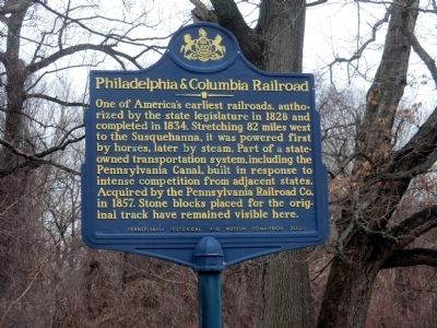
Philadelphia & Columbia Railroad
Erected 2000 by Pennsylvania Historical & Museum Commission.
Topics and series. This historical marker is listed in these topic lists: Industry & Commerce • Railroads & Streetcars. In addition, it is included in the Pennsylvania Historical and Museum Commission series list. A significant historical year for this entry is 1828.
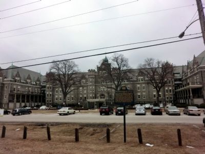
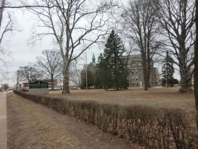
Location. 39° 59.736′ N, 75° 12.986′ W. Marker is in Philadelphia, Pennsylvania, in Philadelphia County. It is in Wynnefield Heights. Marker is on Edgely Road. The marker is off Belmont Avenue across the street from Simpson House, A Senior Living Community. Touch for map. Marker is in this post office area: Philadelphia PA 19131, United States of America. Touch for directions.
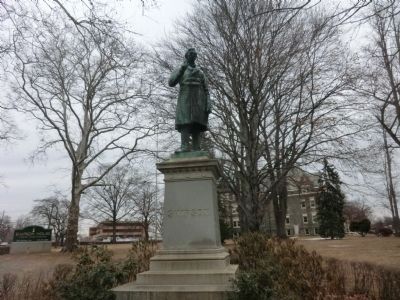
Other nearby markers. At least 8 other markers are within walking distance of this marker. Ed Bradley (about 600 feet away, measured in a direct line); Sheep Barn (approx. 0.3 miles away); Ridgeland (approx. 0.4 miles away); Soldiers and Sailors Memorial (approx. 0.7 miles away); Ohio House (approx. ¾ mile away); The Wrestlers (approx. 0.9 miles away); Goethe / Schiller (approx. 0.9 miles away); Sundial (approx. 0.9 miles away). Touch for a list and map of all markers in Philadelphia.
Credits. This page was last revised on February 2, 2023. It was originally submitted on March 30, 2015, by Don Morfe of Baltimore, Maryland. This page has been viewed 458 times since then and 18 times this year. Photos: 1, 2, 3, 4. submitted on March 30, 2015, by Don Morfe of Baltimore, Maryland. • Bill Pfingsten was the editor who published this page.


