Frederick in Frederick County, Maryland — The American Northeast (Mid-Atlantic)
Desperate Escape
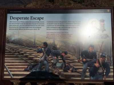
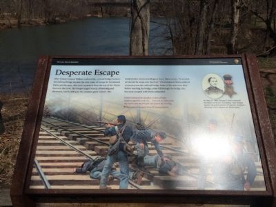
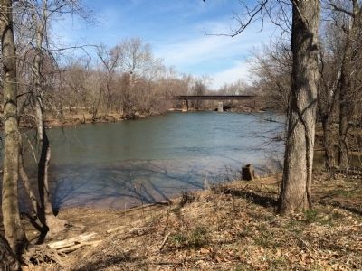
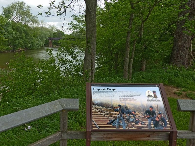
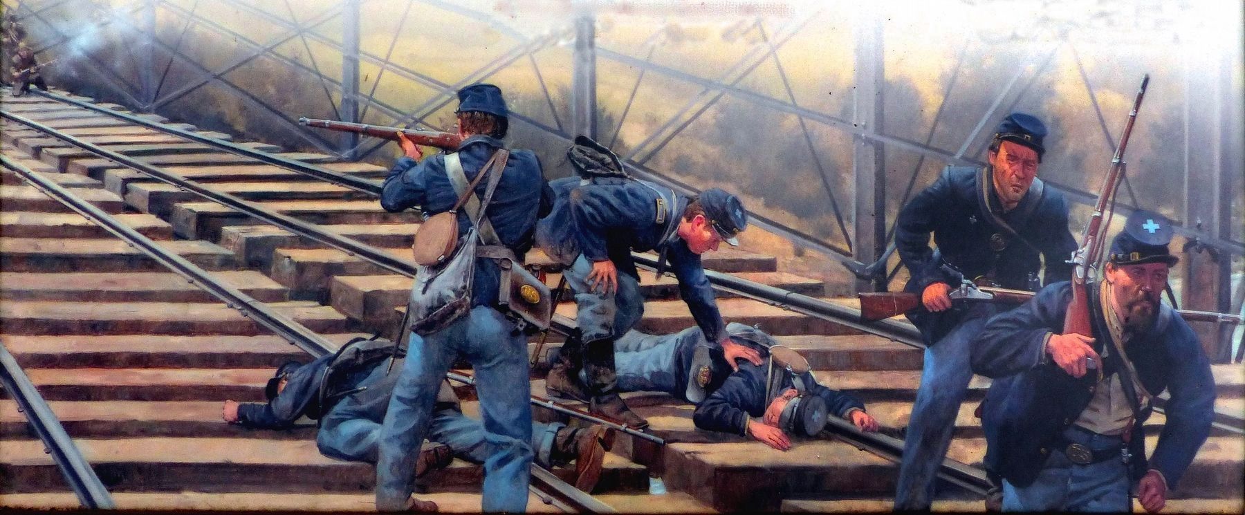
After Union General Wallace ordered the covered bridge burned, the railroad bridge became the only route of escape for Lieutenant Davis and his men, who were seperated from the rest of the Union forces by the river. His troops fought bravely all morning and afternoon, but by 4:00 p.m. the situation grew critical—the Confederates attacked with great force. Davis wrote, "It seemed we should be swept into the river." Overwhelmed, Davis ordered a retreat across the railroad bridge. Some of his men were shot before reaching the bridge, some fell through the bridge ties, but most escaped with Davis unharmed.
I knew nothing of the situation, or plan of battle, except as apparent to the eye...I received no orders from any source after the first gun was fired in the morning.
First Lieutenant George E. Davis, 10th Vermont Infantry
(caption)
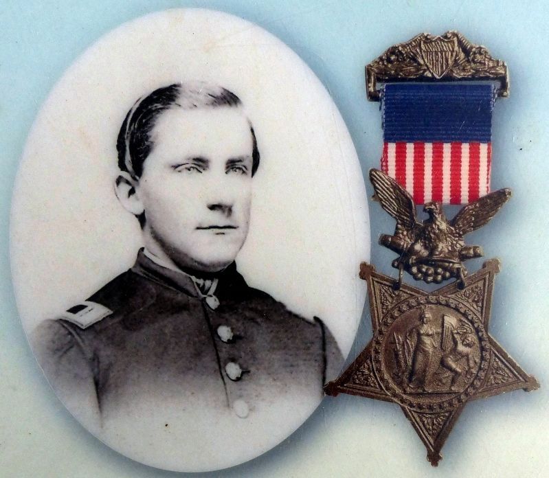
(top right) On May 27, 1892, George E. Davis received the Medal of Honor for holding "two bridges against repeated assaults of superior numbers... delaying Early's advance on Washington."
Erected by Monocacy National Battlefield—National Park Service—U.S. Department of the Interior.
Topics and series. This historical marker is listed in this topic list: War, US Civil. In addition, it is included in the Medal of Honor Recipients series list.
Location. 39° 22.173′ N, 77° 23.282′ W. Marker is in Frederick, Maryland, in Frederick County. Marker can be reached from the intersection of Urbana Pike (Maryland Route 355) and Araby Church Road, on the right when traveling west. Marker is located along the 0.5-mile Gambrill Mill Trail at Tour Stop 5 on the auto-tour route. Touch for map. Marker is at or near this postal address: 4823 Urbana Pike, Frederick MD 21704, United States of America. Touch for directions.
Other nearby markers. At least 8 other markers are within walking distance of this marker. Burning the Bridge (here, next to this marker); Retreat (about 800 feet away, measured in a direct line); CPL Kirk J Bosselmann (about 800 feet away); A Bold Plan (approx. 0.2 miles away); Caring for the River (approx. 0.2 miles away); a different marker also named A Bold Plan (approx. 0.2 miles away); A Crossroads of History (approx. 0.2 miles away); Edgewood (approx. 0.2 miles away). Touch for a list and map of all markers in Frederick.
Related marker. Click here for another marker that is related to this marker. This wayside replaced an older one at this location titled “Fleeing for Their Lives”.
Also see . . . Monocacy National Battlefield. National Park Service website entry (Submitted on April 3, 2015.)
Credits. This page was last revised on April 4, 2022. It was originally submitted on April 2, 2015, by Shane Oliver of Richmond, Virginia. This page has been viewed 561 times since then and 12 times this year. Last updated on March 28, 2022, by Connor Olson of Kewaskum, Wisconsin. Photos: 1, 2, 3. submitted on April 2, 2015, by Shane Oliver of Richmond, Virginia. 4, 5, 6. submitted on May 31, 2017, by Allen C. Browne of Silver Spring, Maryland. • Bernard Fisher was the editor who published this page.
