Corryton in Knox County, Tennessee — The American South (East South Central)
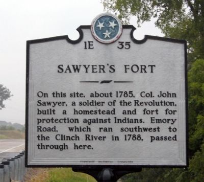
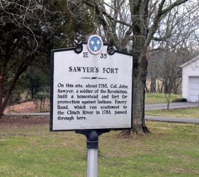
Sawyer's Fort
Erected by Tennessee Historical Commission. (Marker Number 1E 35.)
Topics and series. This historical marker is listed in these topic lists: Forts and Castles • Native Americans • Roads & Vehicles • Settlements & Settlers. In addition, it is included in the Tennessee Historical Commission series list. A significant historical year for this entry is 1785.
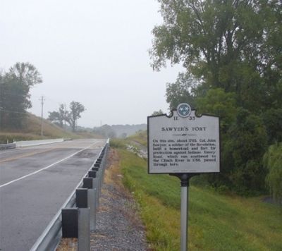
Location. 36° 9.09′ N, 83° 45.234′ W. Marker is in Corryton, Tennessee, in Knox County. Marker is on Emory Road (Tennessee Route 331) one mile west of Washington Pike (Tennessee Route 61), on the right when traveling east. Touch for map. Marker is in this post office area: Corryton TN 37721, United States of America. Touch for directions.
Other nearby markers. At least 8 other markers are within 7 miles of this marker, measured as the crow flies. Emory Road (approx. 2.7 miles away); Blaine's Crossroads (approx. 3 miles away); Janeway Cabin (approx. 3 miles away); Shields Station (approx. 3.4 miles away); Richland: Birthplace of Albert Miller Lea (approx. 4.1 miles away); George Mann (approx. 5.1 miles away); Nicholas Gibbs Homestead (approx. 5.4 miles away); Nicholas Gibbs (approx. 6.2 miles away). Touch for a list and map of all markers in Corryton.
More about this marker. Originally this marker was a lower elevation. Road has since been raise about 9 feet above the original site.
Credits. This page was last revised on June 16, 2016. It was originally submitted on July 12, 2010, by Donald Raby of Knoxville, Tennessee. This page has been viewed 2,417 times since then and 90 times this year. Last updated on April 6, 2015, by J. Makali Bruton of Accra, Ghana. Photos: 1, 2, 3. submitted on July 12, 2010, by Donald Raby of Knoxville, Tennessee. • Bill Pfingsten was the editor who published this page.


