Carlsbad in San Diego County, California — The American West (Pacific Coastal)
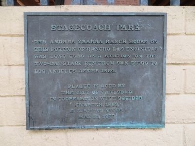
Stagecoach Park
Erected 1978 by The City of Carlsbad in cooperation with Squibob Chapter, 1853, E Clampus Vitus.
Topics and series. This historical marker is listed in this topic list: Roads & Vehicles. In addition, it is included in the E Clampus Vitus series list. A significant historical year for this entry is 1864.
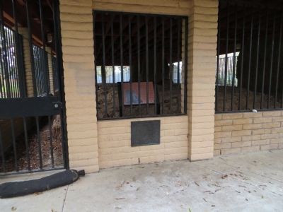
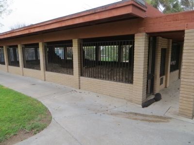
Location. 33° 4.552′ N, 117° 14.071′ W. Marker is in Carlsbad, California, in San Diego County. Marker can be reached from Camino De Los Coches. Marker is just north of the community center. Touch for map. Marker is at or near this postal address: 3420 Camino De Los Coches, Carlsbad CA 92009, United States of America. Touch for directions.
Other nearby markers. At least 8 other markers are within 9 miles of this marker, measured as the crow flies. Olivenhain Meeting Hall (approx. 2.2 miles away); Leo Carrillo Ranch (approx. 3.1 miles away); Rancho Santa Fe (approx. 4.3 miles away); Welcome to Agua Hedionda (approx. 6.1 miles away); Agua Hedionda Lagoon (approx. 6.1 miles away); Buena Vista Reservoir Park (approx. 8.8 miles away); Carlsbad Santa Fe Depot (approx. 8.8 miles away); Twin Inns (approx. 8.9 miles away). Touch for a list and map of all markers in Carlsbad.
Photographed By Bill Kirchner, March 30, 2015
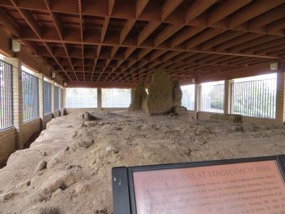
3. Adobe Ruins at Stagecoach Park
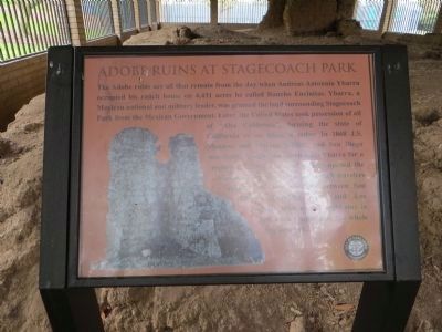
The Adode ruins are all that remain from the day when Andreas Antonnio Ybarra occupied his ranch house on 4,431 acres he called Rancho Encintas. Ybarra, a Mexican national and military leader, was granted the land surrounding Stagecoach Park from the Mexican government. Later, the United States took possession of all of “Alta California”, forming the state of California as we know it today. In 1868 J.S. Manasse and Marcus Schiller, two San Diego merchants baugh the ranch from Ybarra for a reported $3,000. The new owners opened the Manasse Stop for weary stagecoach travelers making the two day trip between San Diego's Franklin Hotel and Los Angeles. With an overnight stay in San Juan Capistrano, the whole trip cost $10.
Credits. This page was last revised on June 16, 2016. It was originally submitted on April 8, 2015, by Bill Kirchner of Tucson, Arizona. This page has been viewed 950 times since then and 90 times this year. Photos: 1, 2, 3, 4, 5. submitted on April 8, 2015, by Bill Kirchner of Tucson, Arizona. • Andrew Ruppenstein was the editor who published this page.
