Near Brandy Station in Culpeper County, Virginia — The American South (Mid-Atlantic)
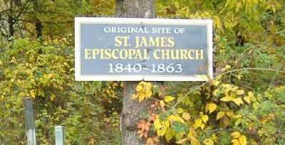
St. James Episcopal Church
St. James
Episcopal Church
1840-1863
Topics. This historical marker is listed in these topic lists: Churches & Religion • War, US Civil.
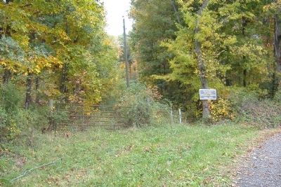
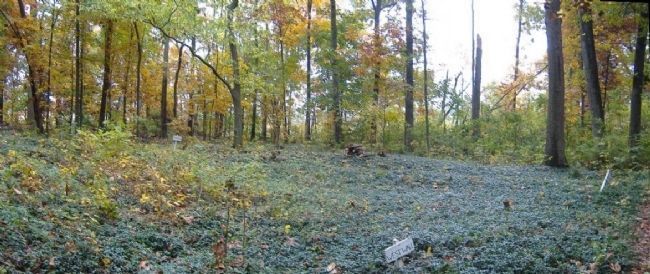
Location. 38° 31.409′ N, 77° 52.101′ W. Marker is near Brandy Station, Virginia, in Culpeper County. Marker is on St. James Church Road (Virginia Route 676) 0.2 miles north of Beverly Ford Road (Virginia Route 677), on the left when traveling north. The marker is 240 feet north of a short gravel road where St. James Church Road curves to a due north direction. It is at the start of a short trail leading to the former site of St. James Church. Touch for map. Marker is in this post office area: Brandy Station VA 22714, United States of America. Touch for directions.
Other nearby markers. At least 8 other markers are within walking distance of this marker. Battle of Brandy Station (within shouting distance of this marker); a different marker also named The Battle of Brandy Station (about 700 feet away, measured in a direct line); The 1863-64 Winter Encampment (approx. 0.2 miles away); a different marker also named Battle of Brandy Station (approx. 0.2 miles away); Lee's Forgotten Warrior (approx. 0.2 miles away); a different marker also named The 1863-64 Winter Encampment (approx. 0.3 miles away); a different marker also named The Battle of Brandy Station (approx. 0.4 miles away); a different marker also named The Battle of Brandy Station (approx. 0.9 miles away). Touch for a list and map of all markers in Brandy Station.
Related marker. Click here for another marker that is related to this marker. See also: Battle of Brandy Station - Confederate Line of Defense at St. James Church"
Also see . . . Contemporary Image of St. James Church at Brandy Station. Before the church was demolished by Federal troops, a US cavalryman sketched the church. A description of the church and its history is also provided. (Submitted on April 9, 2015, by David Graff of Halifax, Nova Scotia.)
Additional keywords. Brandy Station, Battle
Credits. This page was last revised on June 16, 2016. It was originally submitted on April 9, 2015, by David Graff of Halifax, Nova Scotia. This page has been viewed 613 times since then and 38 times this year. Photos: 1, 2, 3. submitted on April 9, 2015, by David Graff of Halifax, Nova Scotia. • Andrew Ruppenstein was the editor who published this page.


